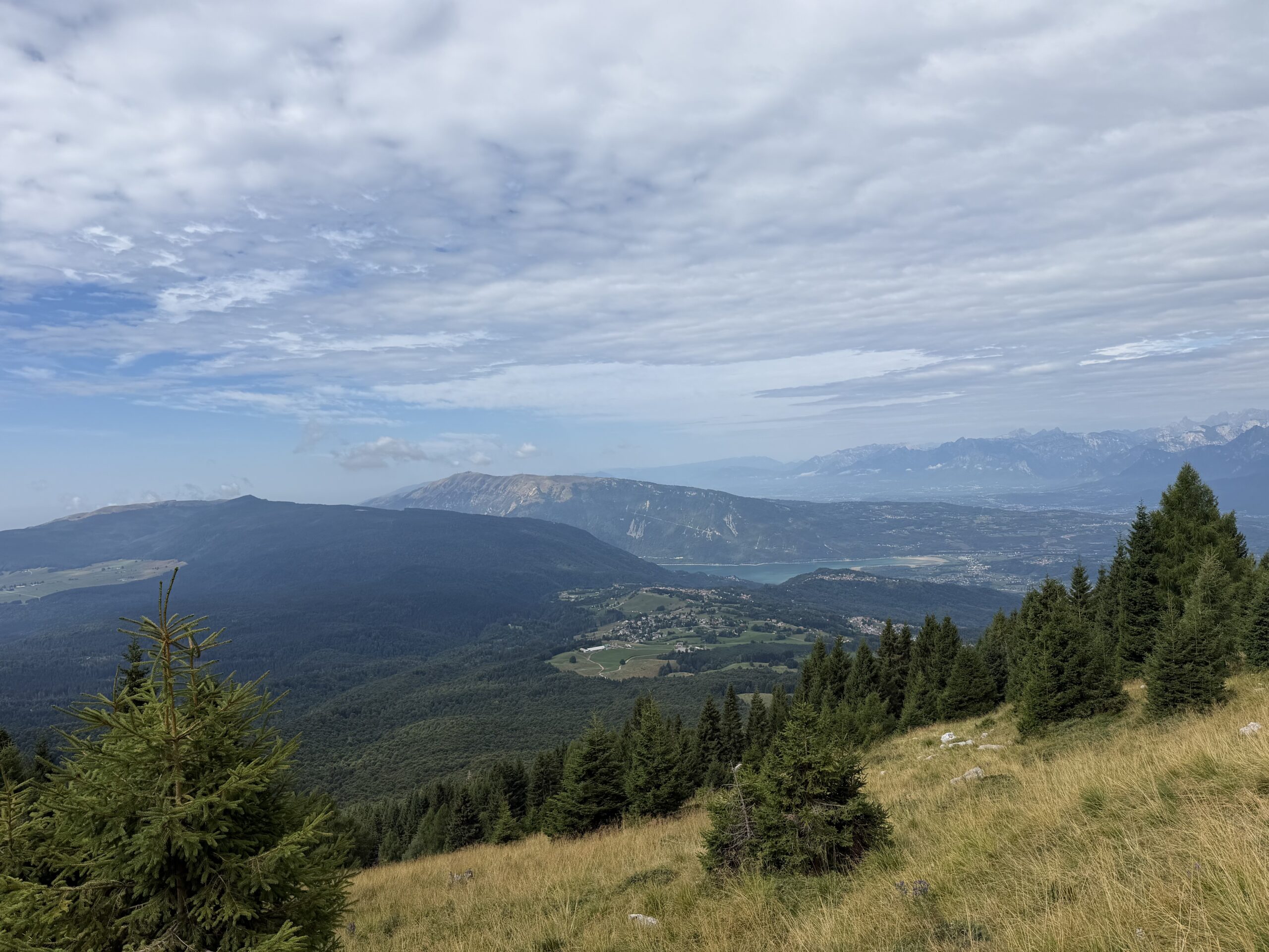
The hike to Cima Lastè, in the Monte Cavallo group, is an intense and highly panoramic mountain route in the heart of the Alpago, starting from Malga Pian Grant, passing the beautiful Rifugio Semenza and reaching a summit that offers wide 360-degree views over mountains, valleys and broad grassy slopes.
The route begins above Col Indes, in the municipality of Tambre, reached by driving up from the Fadalto area and then toward the Alpago. At Malga Pian Grant, at about 1116 m, the car is left in the parking area. Please note: the parking area is paid and, at the time of the hike, the fee was €10 for 48 hours, with no single-day ticket and payment by coins only.
From the malga, the route initially follows the forest road for about 800 metres, as far as the junction with the road coming from Baracca degli Alpini and Casera Palantina. After passing the barrier, continue to the sign indicating the trail toward Rifugio Semenza. Here the road is left behind and the route climbs through meadows, passing a first malga before entering the forest.
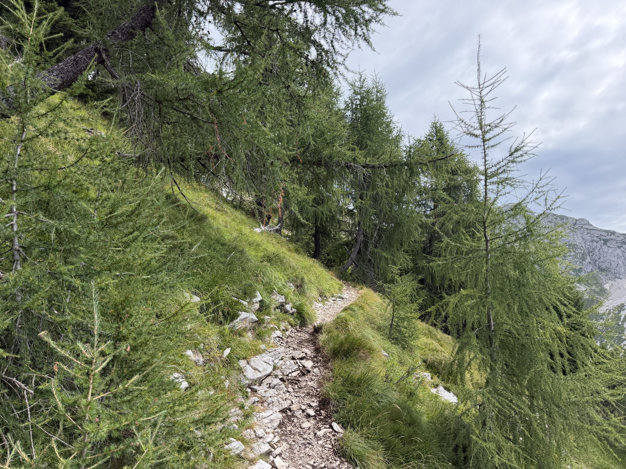
The climb through the woods is pleasant but steady. The trail gains elevation with a moderate gradient, drawing a series of bends among the trees. After about one hour, the surroundings begin to change: the forest opens up, meadows and sparser trees appear, and ahead rises the Cimon di Palantina, with its steep southern slope.
Continuing at a regular gradient, the route reaches the end of the small wooded area. From here the trail becomes more panoramic and cuts across the slope on a gentler line. Below opens the Val de Piera, which climbs toward the refuge through the area of the Sasso della Madonna. The route crosses the whole slope below Cima delle Vacche, a very interesting mountain also from a ski-mountaineering perspective.
This is one of the most beautiful parts of the hike, but it requires attention. There are some exposed sections, with large rocks and footing that is not always comfortable, until the junction with trail 923, which comes up from Baracca degli Alpini. From here, about twenty minutes remain to the refuge, although a sign indicates 30 minutes. Concentration is still needed: shortly before Rifugio Semenza there are exposed passages and sections on smooth rock, where slipping is easy.
Rifugio Semenza, located at 2020 m, is one of the key points of the itinerary and is already a very rewarding destination. From the parking area to the refuge, the walking time is about 2 hours and 30 minutes.
From the refuge, pass behind the building and reach the area of Forcella Lastè, where the winter bivouac is also located. Initially follow trail 925, then leave it almost immediately and take trail 924, which climbs to the right among small rocks, meadows and open terrain. From here the line becomes less fixed and freer: it is not a technically difficult ascent, but it requires attention to route-finding and care on passages over rocks and earthy ground.
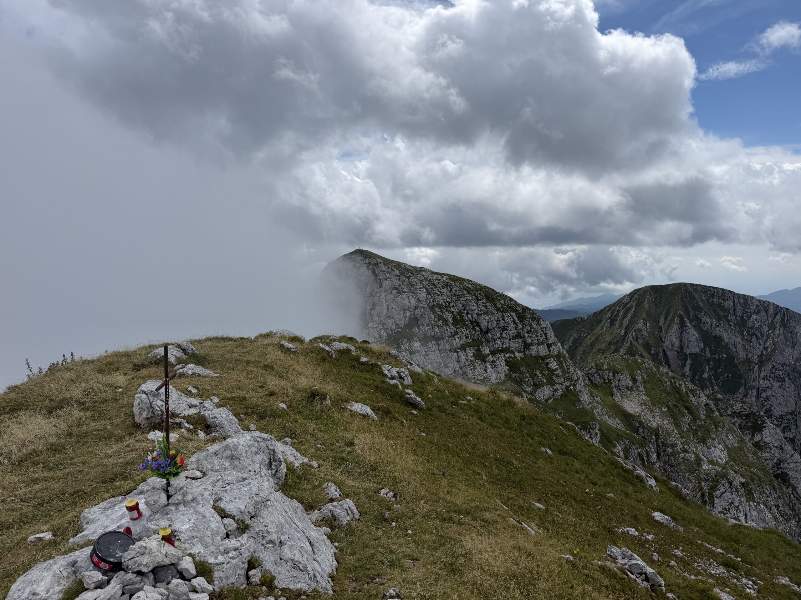
After a first rounded rise, and with a few rocky passages and other sections on mixed terrain, the summit of Cima Lastè is finally reached, at about 2247 m.
From the summit, the panorama is the real reward of the day. The view can sweep 360 degrees over the Alpago, the Monte Cavallo group, the surrounding valleys and, on clear days, toward very wide horizons. In my case, the view to the south was partly hidden by large clouds, but the atmosphere remained powerful and striking.
This is a hike worth telling because it has everything that makes a day in the mountains special: a start among malghe and forests, a progressive climb, the passage by Rifugio Semenza, a wilder final section toward Cima Lastè and a summit panorama that repays every metre of elevation gain. It is not, however, a trivial itinerary: the exposed sections, the smooth or loose ground, and the less-defined final ascent require sure-footedness, good visibility and constant attention.
From Cima Lastè, the return initially follows the same route used on the ascent, descending carefully back to Rifugio Semenza. From the refuge, continue along the same trail until reaching the junction with trail 923, which descends toward the Sasso della Madonna.
Here the character of the return changes quite clearly. The trail loses elevation very quickly, on steep ground often covered with fine gravel. This section requires real attention, as the surface makes it easy to slip, especially when descending. The route first drops across a sort of scree slope, then continues over rocks and grass, quickly losing height until it reaches the Sasso della Madonna after about 30 minutes, in a more open grassy area.
From the Sasso della Madonna, the trail continues to descend along the Val de Piera, still with a sustained gradient. After a few bends, it first reaches the valley floor and then the equipped area of the Baracca degli Alpini. From here the route becomes easier and turns into a mule track, with a few gentle ups and downs leading back along the valley.
Continue to the junction with the branch heading toward Casera Palantina. Here keep right and, descending gently, cross a beautiful beech forest until reaching the junction already passed on the ascent below the malghe. From this point, it takes only a short time to follow the morning route back to the parking area at Malga Pian Grant.
Hike completed by Barbara, Beatrice and Federico on 18 August 2026.