The Via Ferrata Bolver Lugli is one of those mountain routes that stays with you: a long, physical and spectacular ascent into the heart of the Pale di San Martino, reaching the panoramic Bivacco Fiamme Gialle before returning through the rugged terrain of Val dei Cantoni and the Rifugio Rosetta area. This is not just a ferrata climb; it is a demanding high-mountain loop where altitude, exposure, distance and the descent matter as much as the equipped sections.
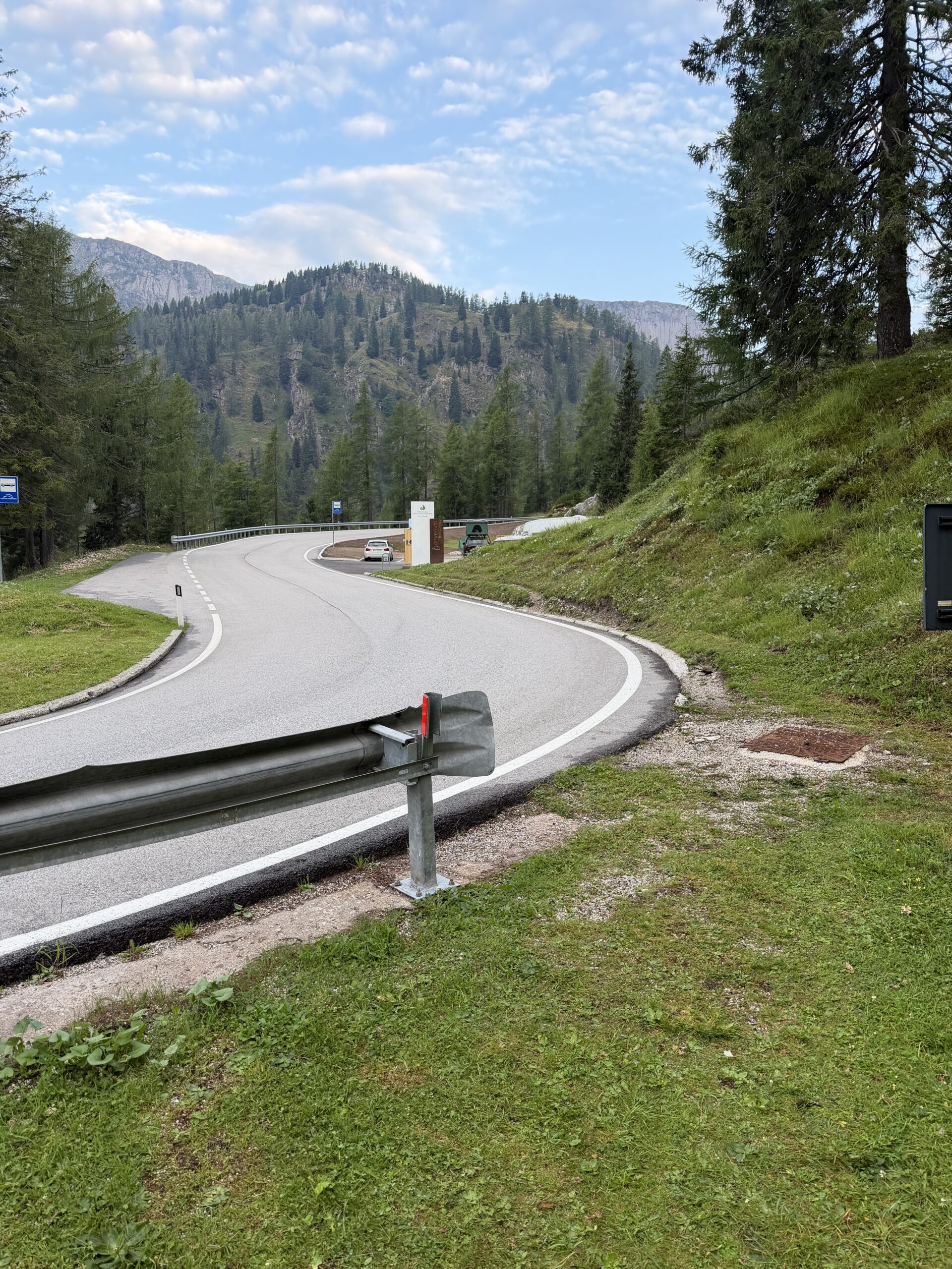
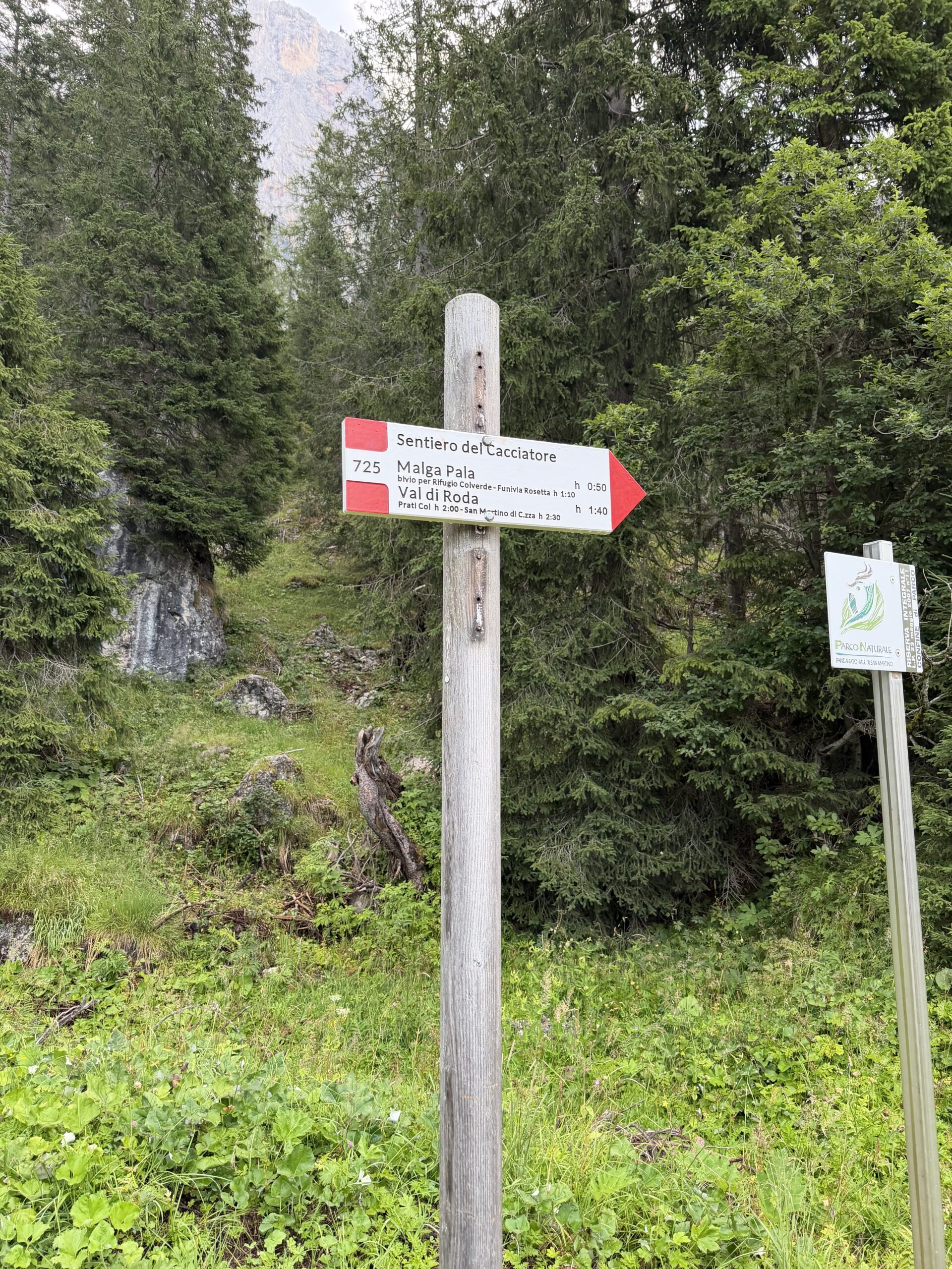
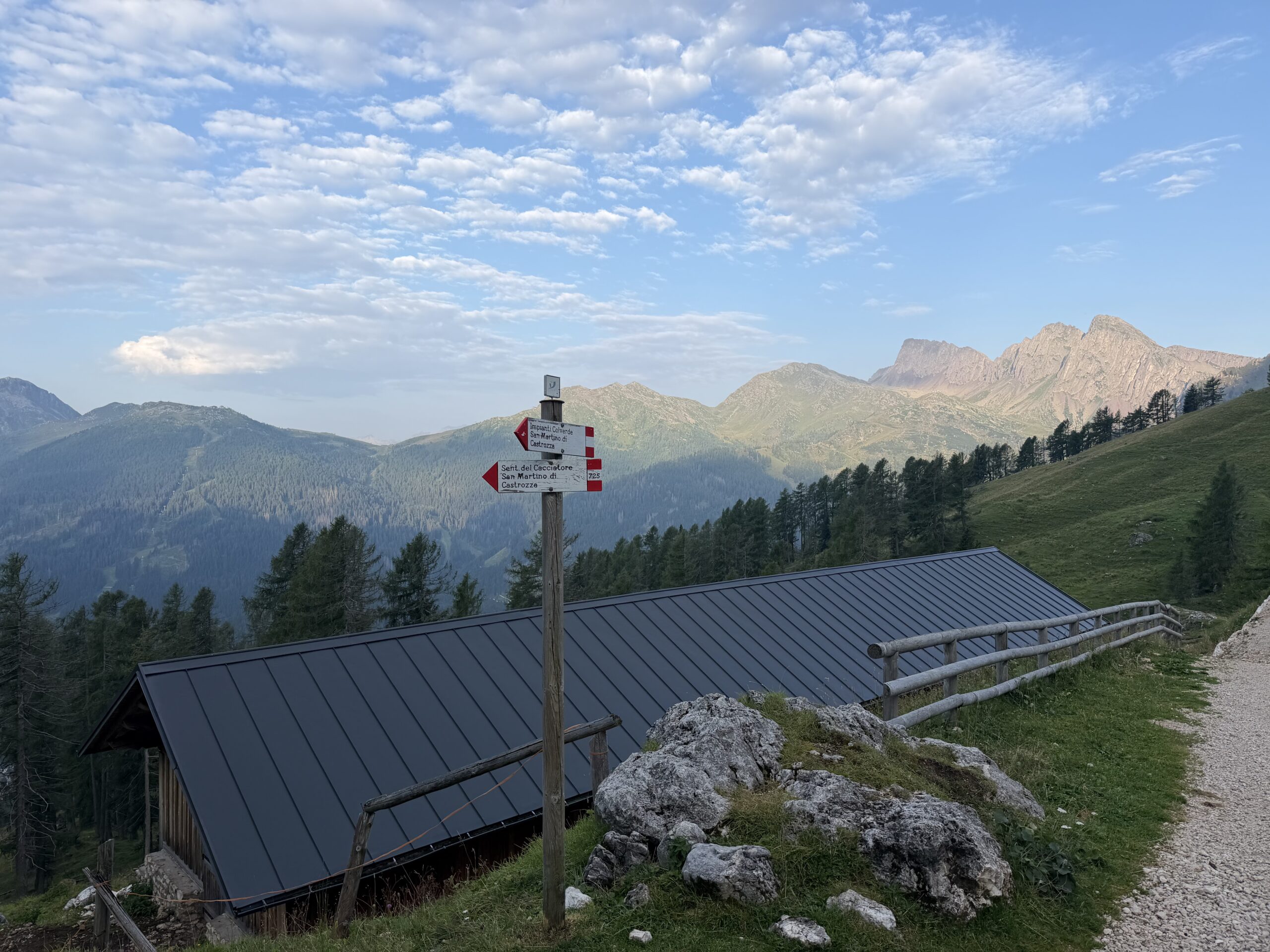
The route starts from the 10th hairpin bend above the Col Verde lifts, where there is a small parking area with benches. From the parking area I walked briefly back to the bend and took trail 725, the Sentiero del Cacciatore. The path descends gently, crosses the Rio Marmor, often dry, and then begins to climb through a pleasant forest.
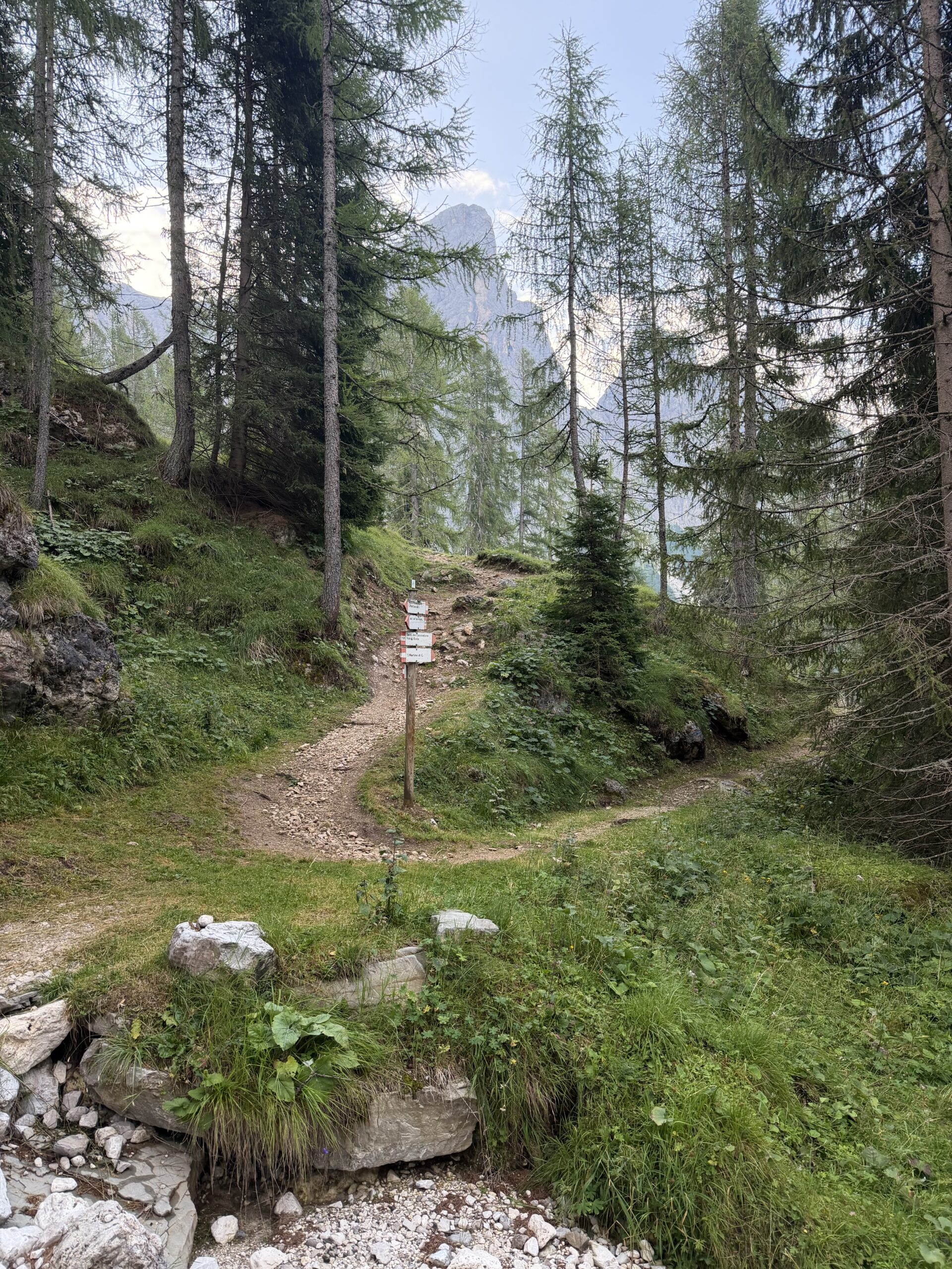
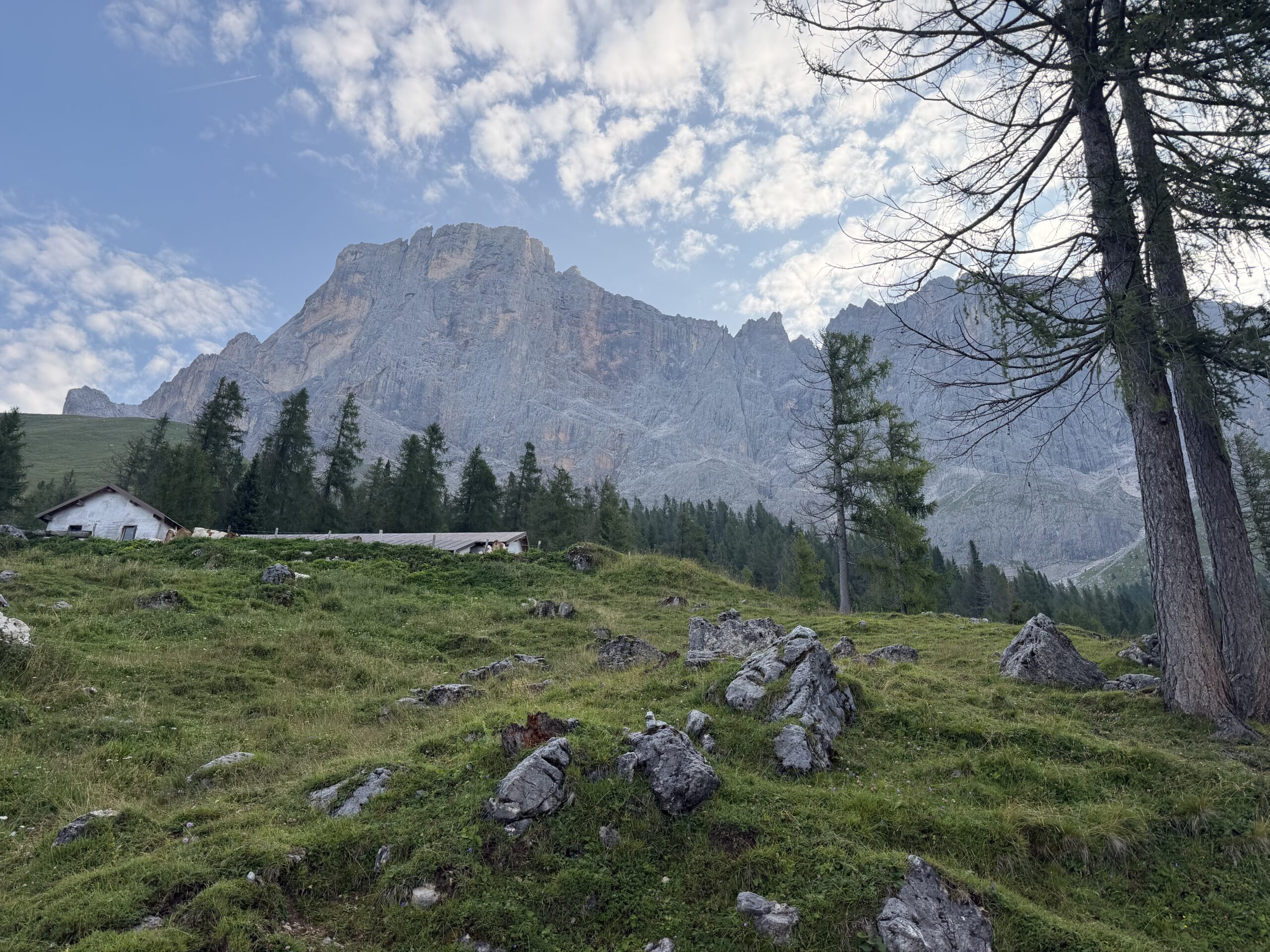
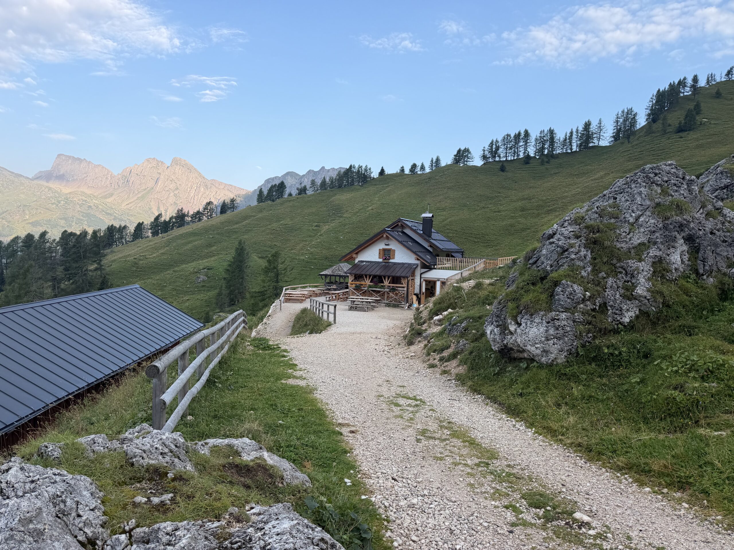
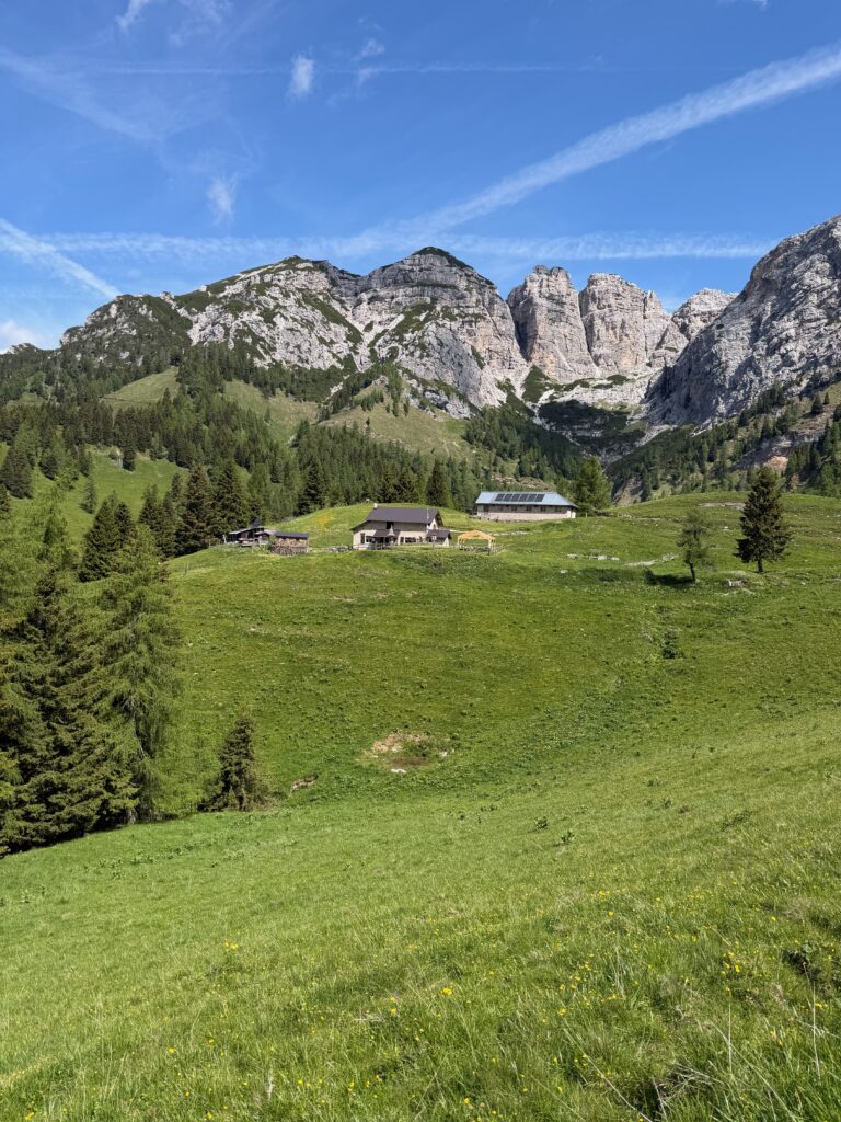
After reaching a ridge, the trail loses about 80 metres of elevation before meeting the path coming up from San Martino di Castrozza. The route continues through the woods, gaining height with several switchbacks until it enters the valley below the Col Verde lift. I then left the Sentiero del Cacciatore and climbed toward Malga Pala, following the farm road up to the lift area.
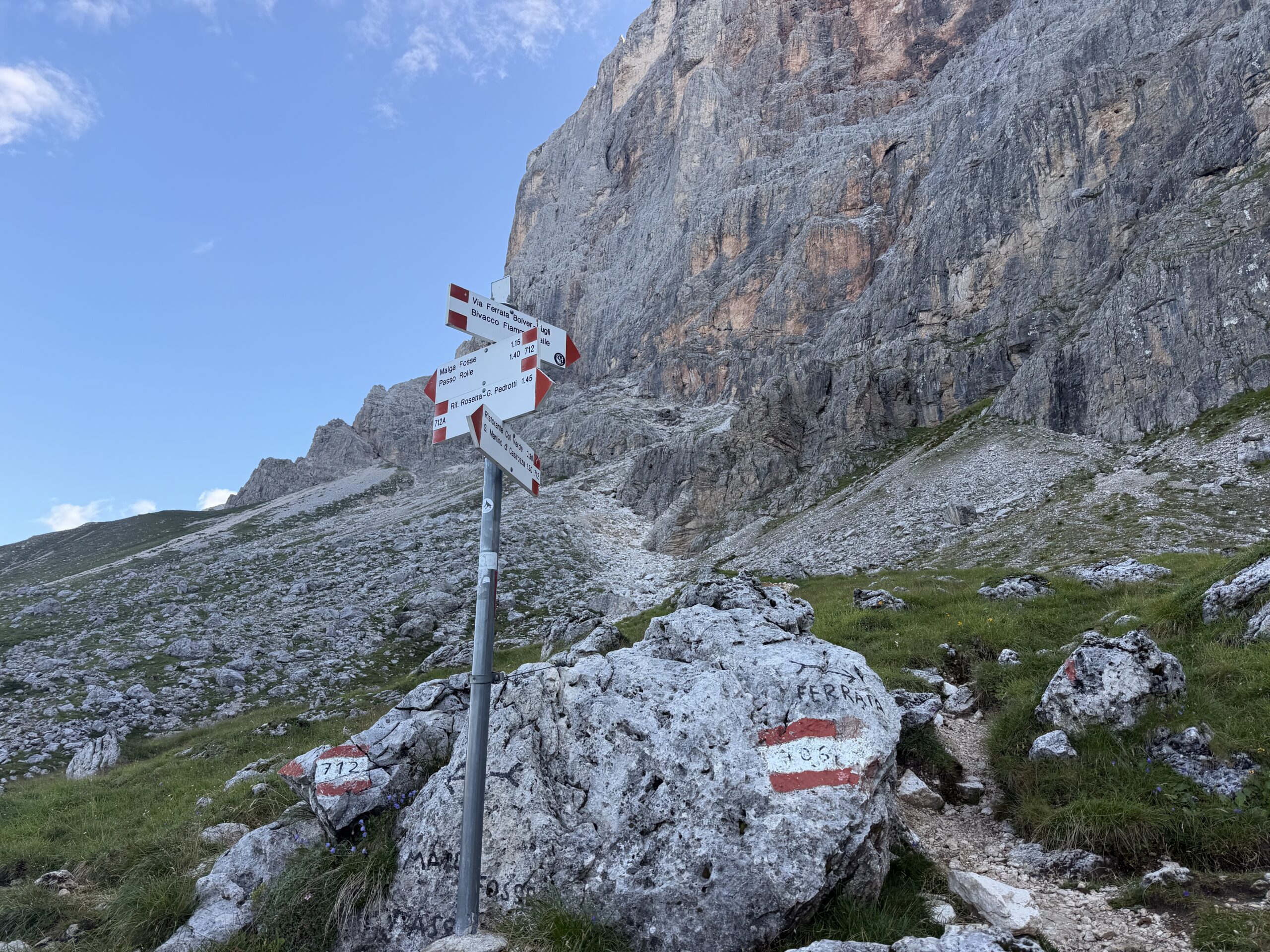
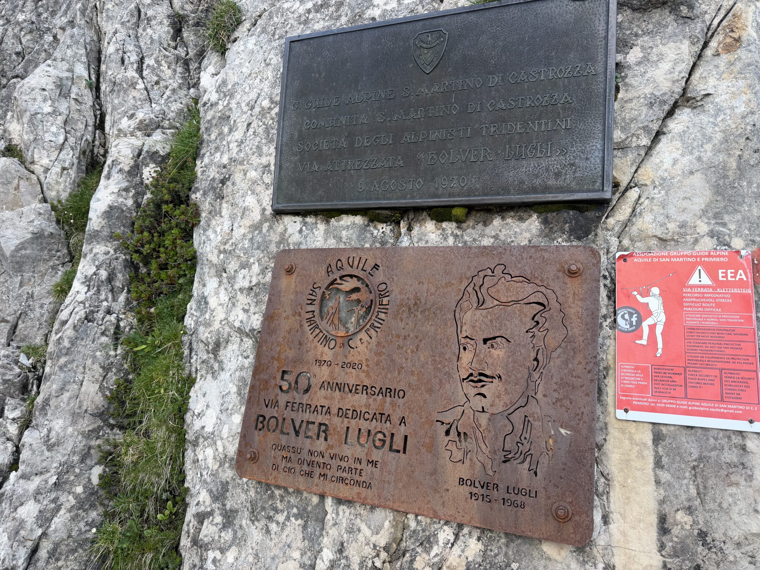
Just before the lift station, a sign points toward the Via Ferrata Bolver Lugli. I followed trail 706, which climbs left of the stream across open slopes of grass, rocks and scree, until it meets trail 712 from Malga Fosse. A few more metres of ascent lead to the start of the ferrata, marked by a bronze plaque placed in 2020 for the 50th anniversary of the route.
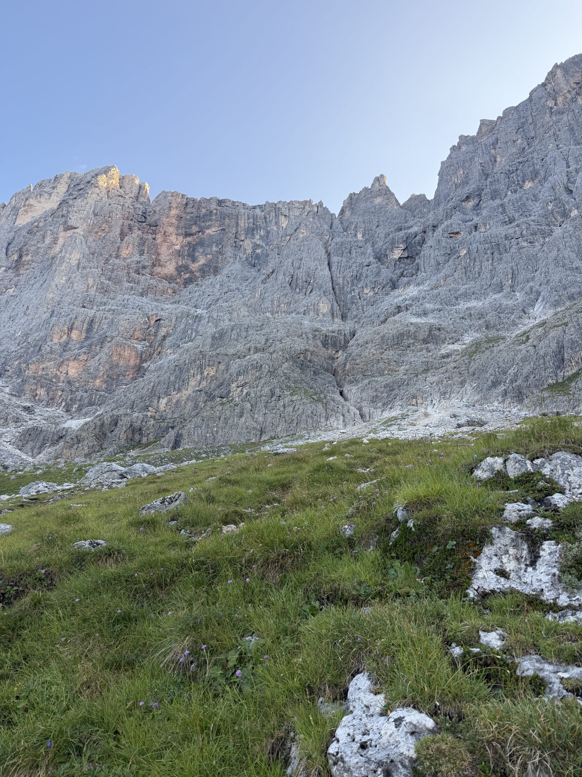
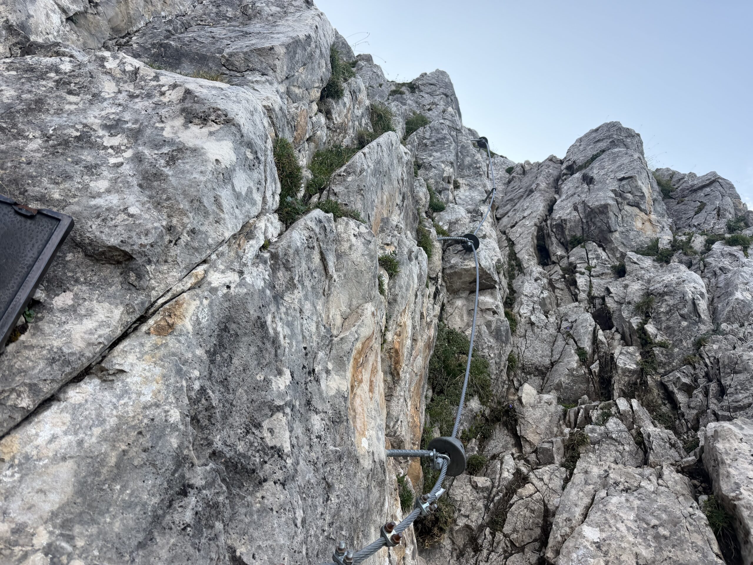
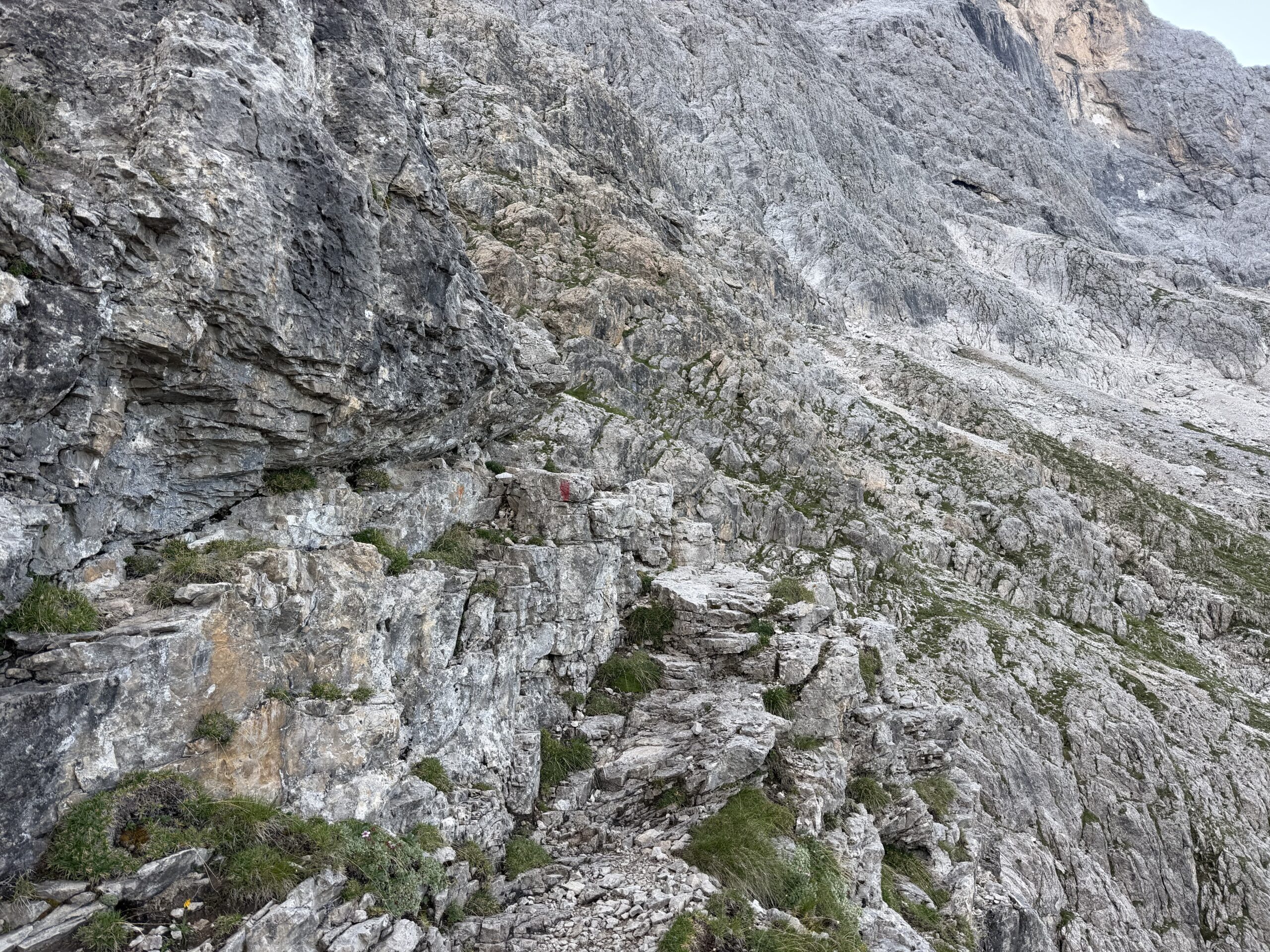
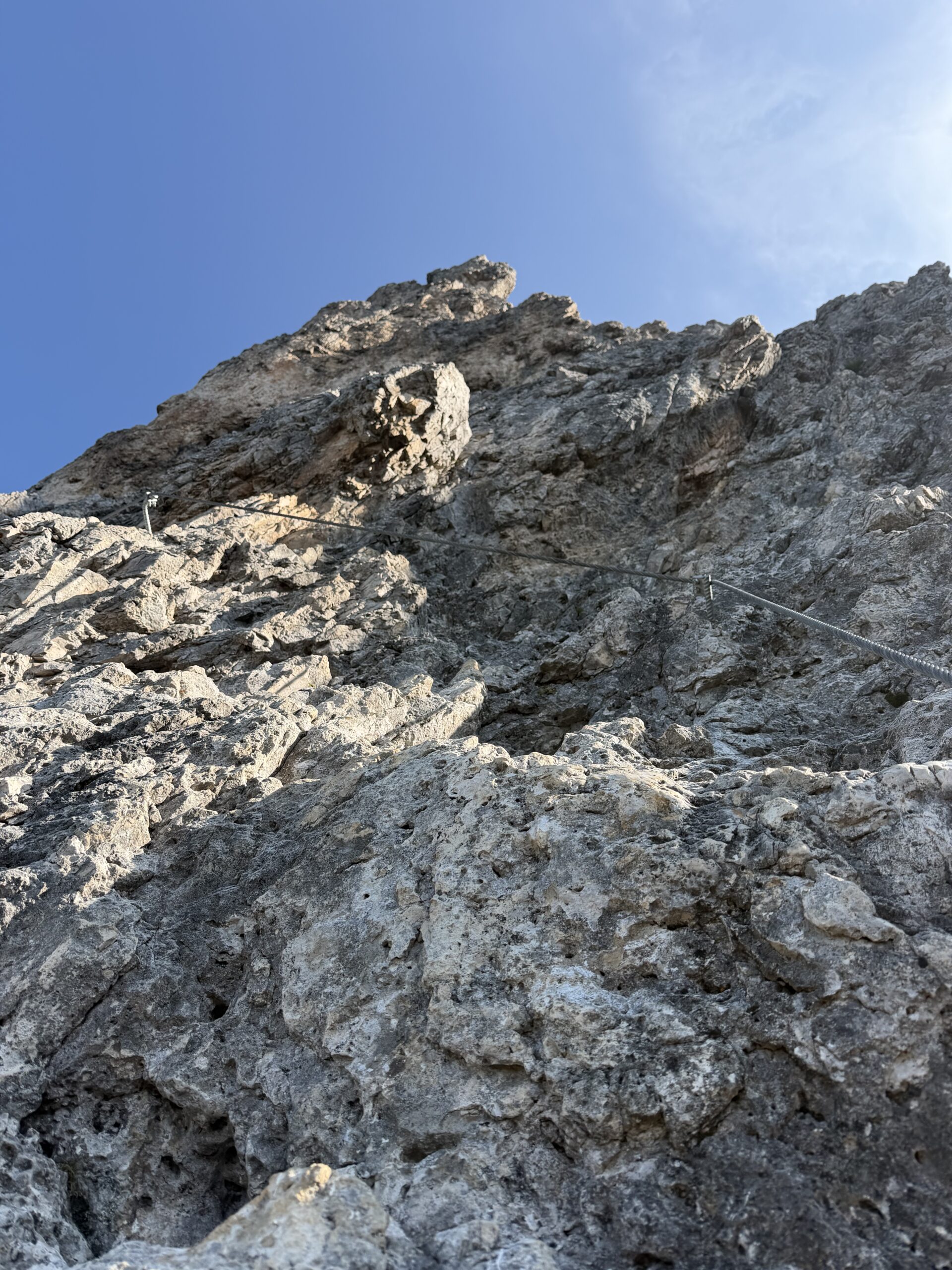
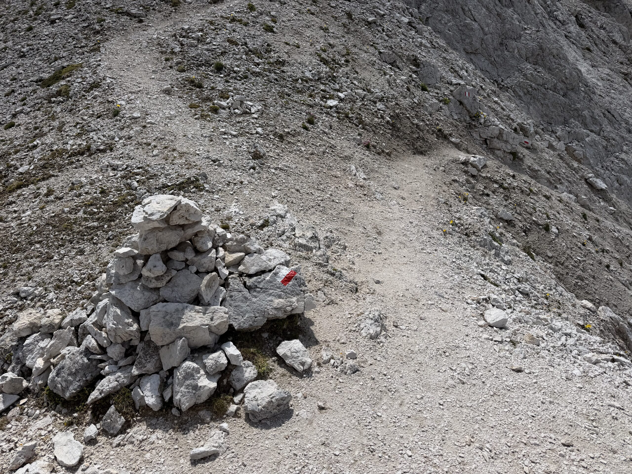
The first section of the Bolver Lugli introduces the wall gradually. A cable helps over the first rocky steps, then the route alternates equipped passages, short walking sections and loose gravel benches. In this area it is important to follow cairns and painted marks carefully, as the line is not always obvious.
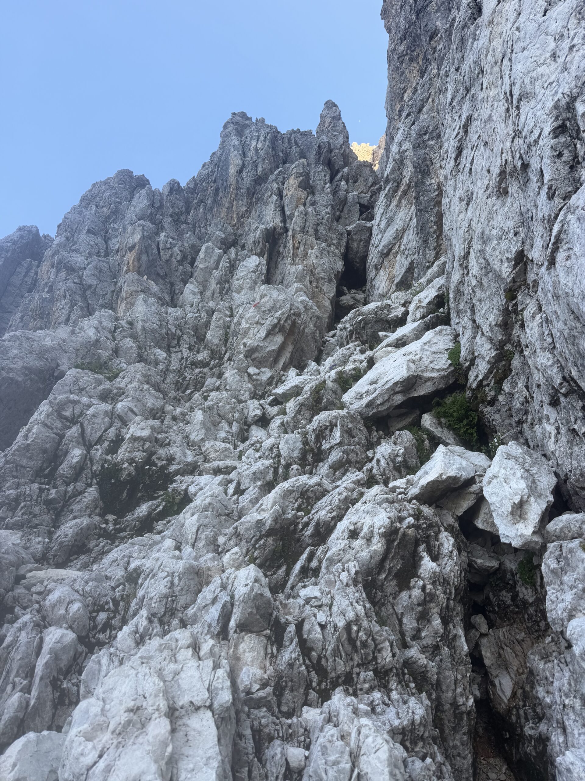
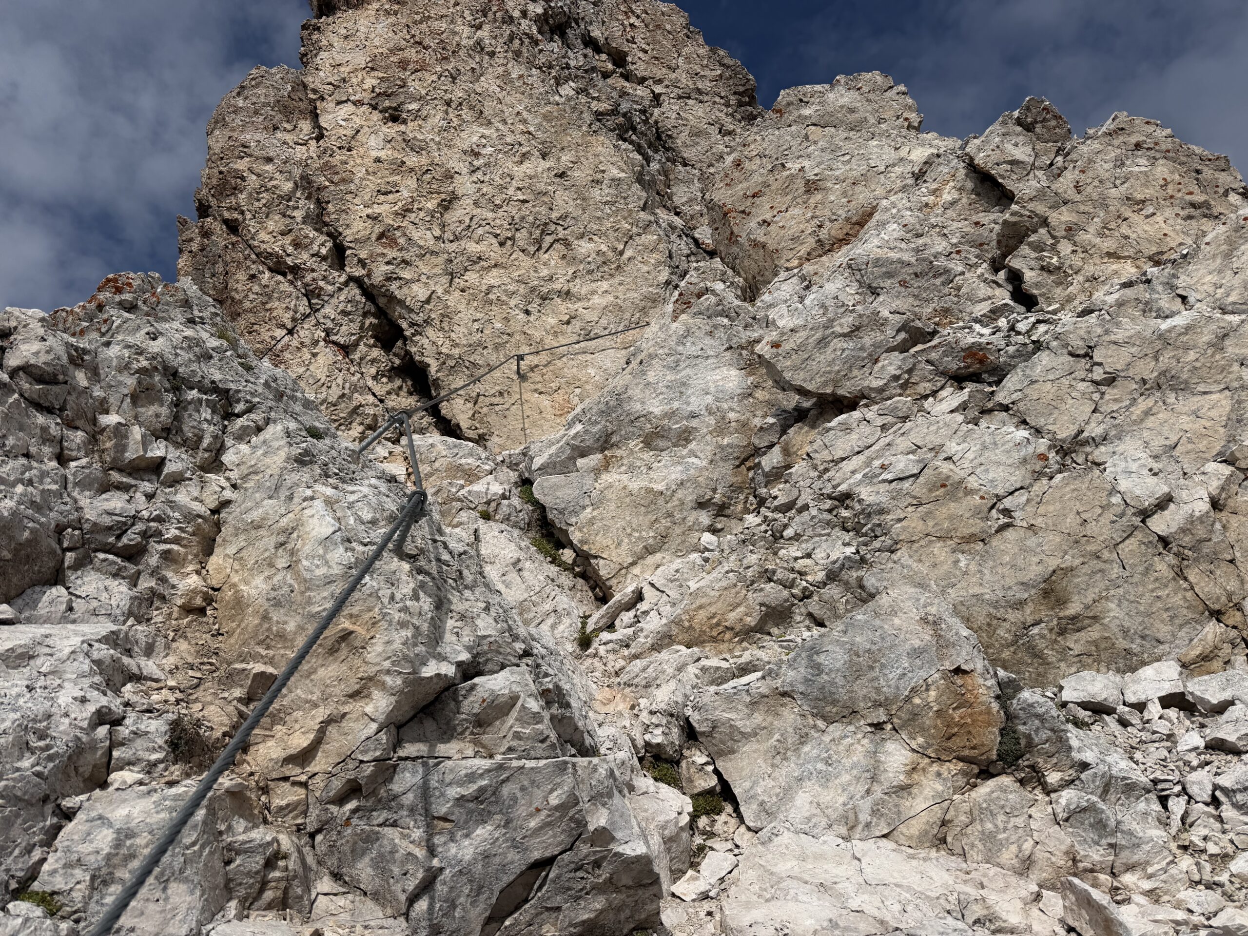
At the base of the chimney, the character of the climb changes. The easier terrain gives way to a more continuous, vertical and engaging ferrata. The equipped chimney leads to a panoramic pulpit, followed by cables, slabs and rocky passages where the climbing is enjoyable but requires steady movement and concentration.
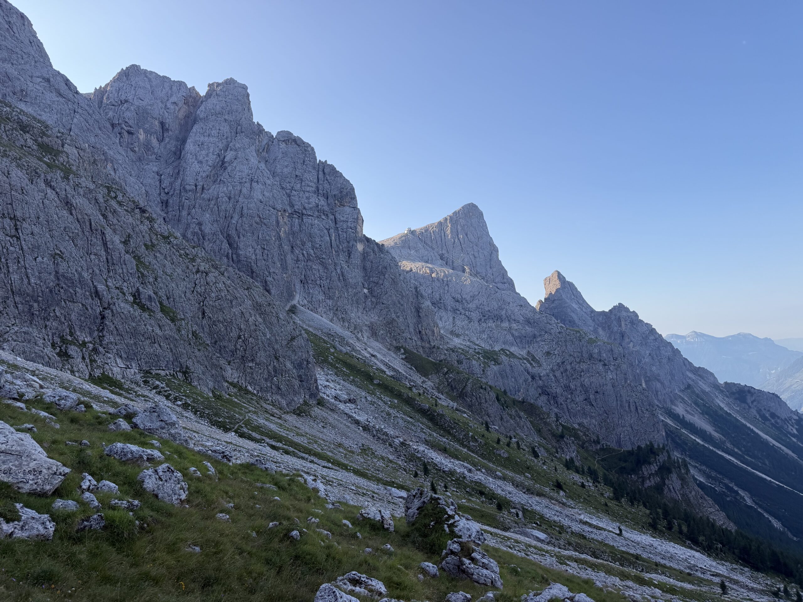
The most demanding section comes near the upper part of the route, at the base of a vertical wall. An exposed cable-protected passage leads higher into the ferrata, with more slabs and almost vertical sections above. The scenery becomes increasingly impressive: the Pale di San Martino open all around, the exposure increases, and the edge of the plateau finally comes into view.
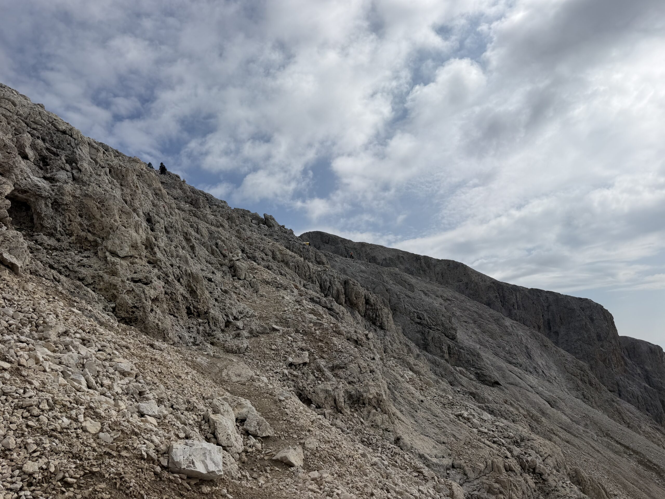
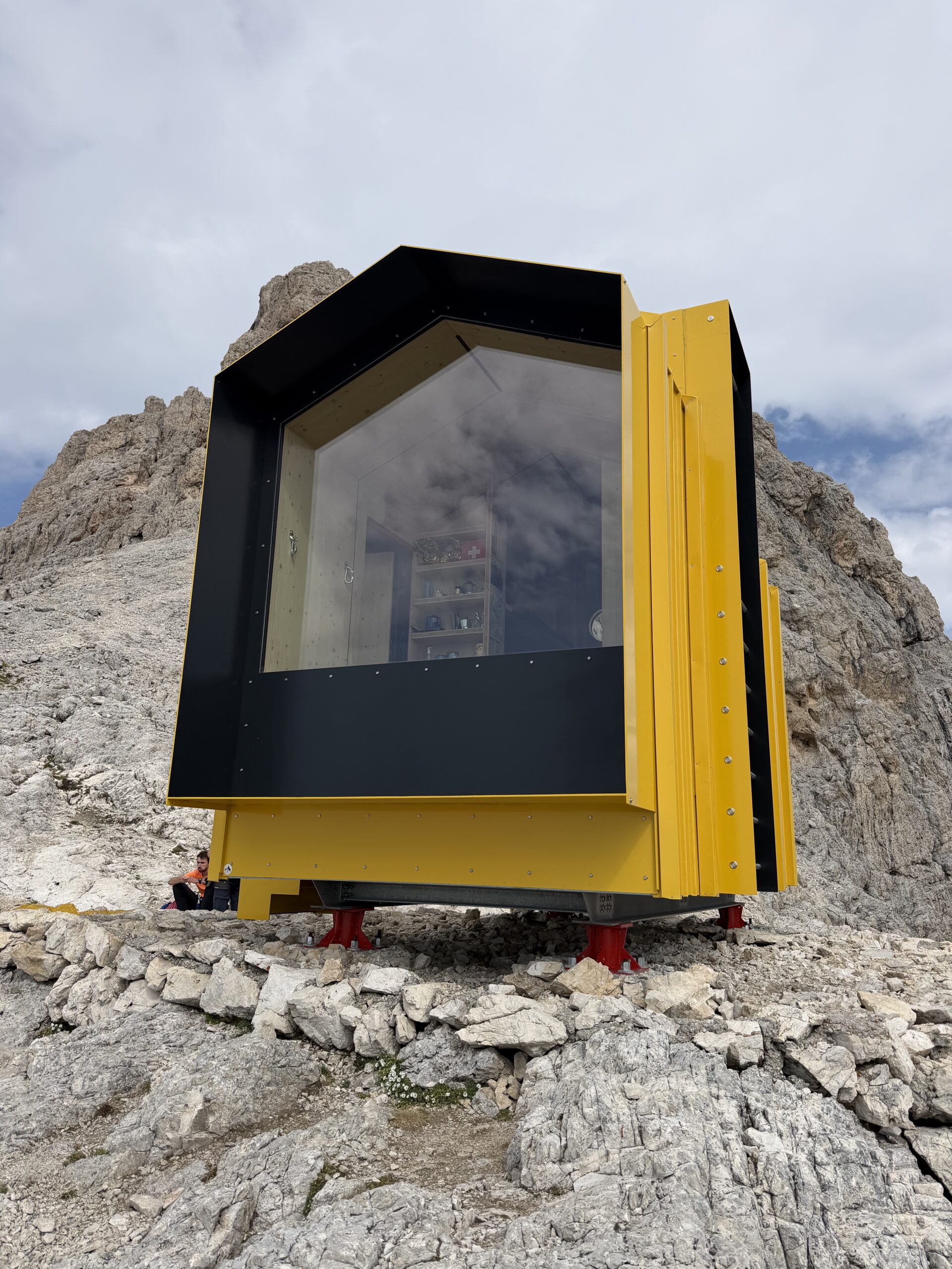
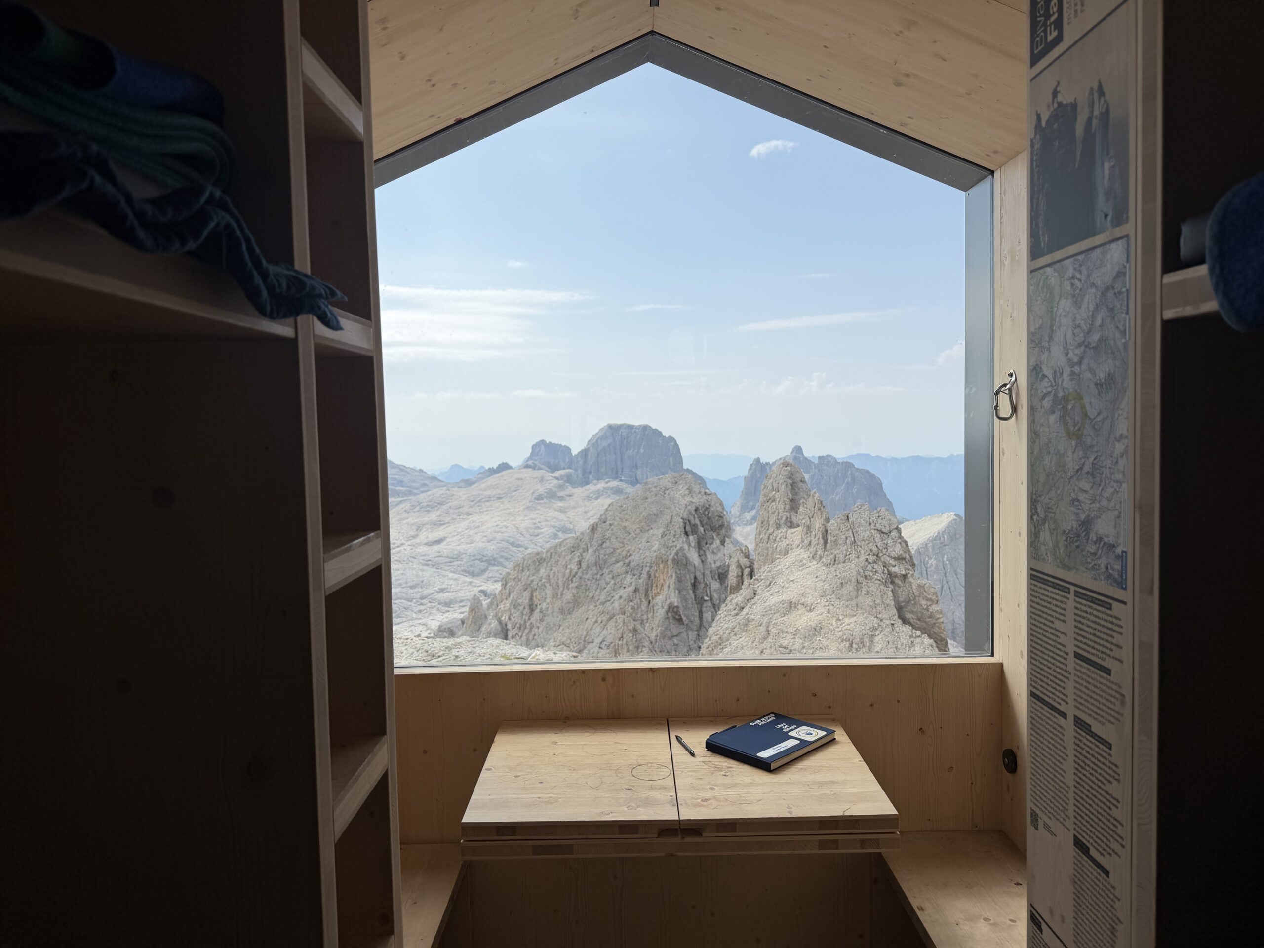
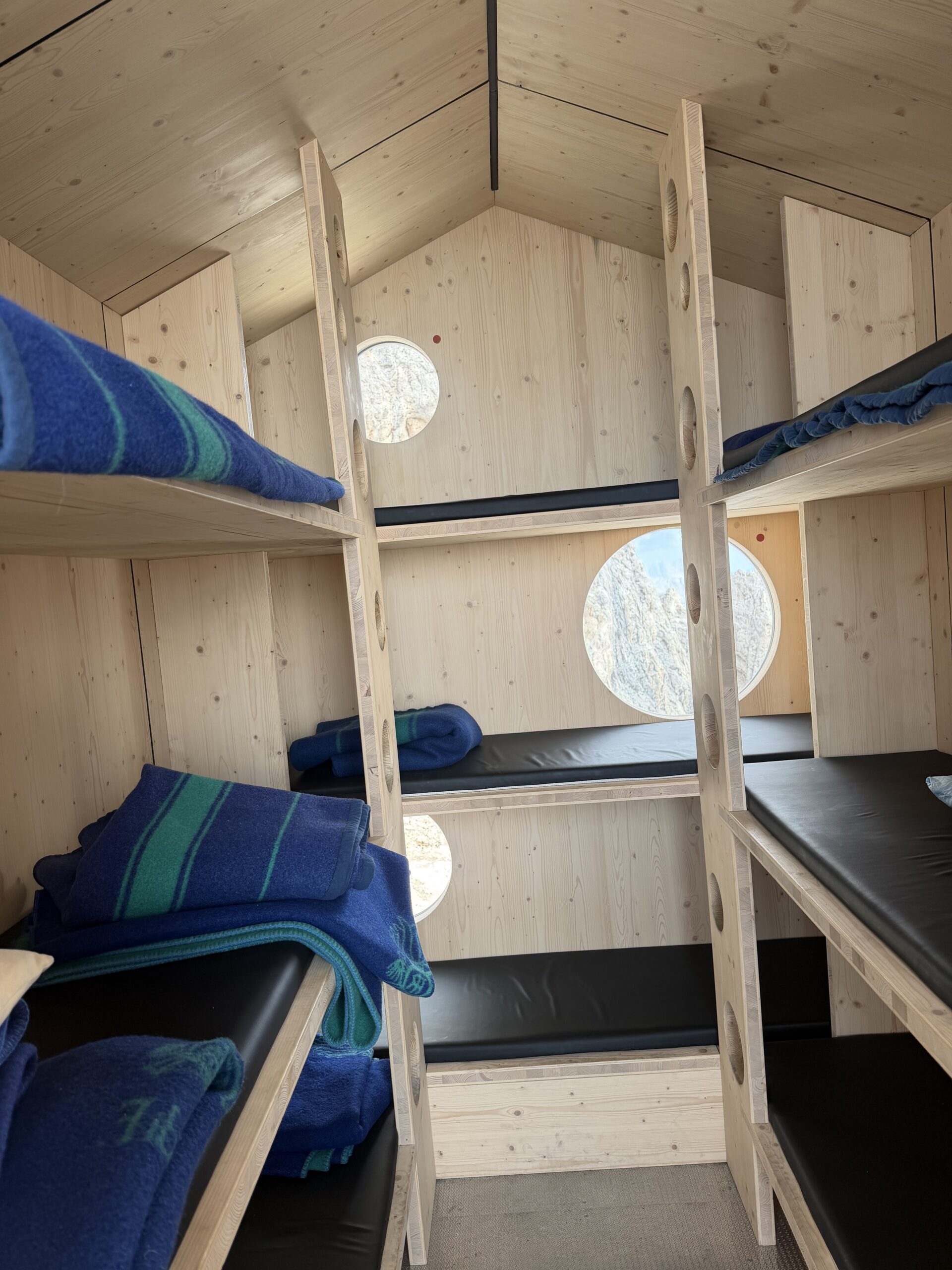
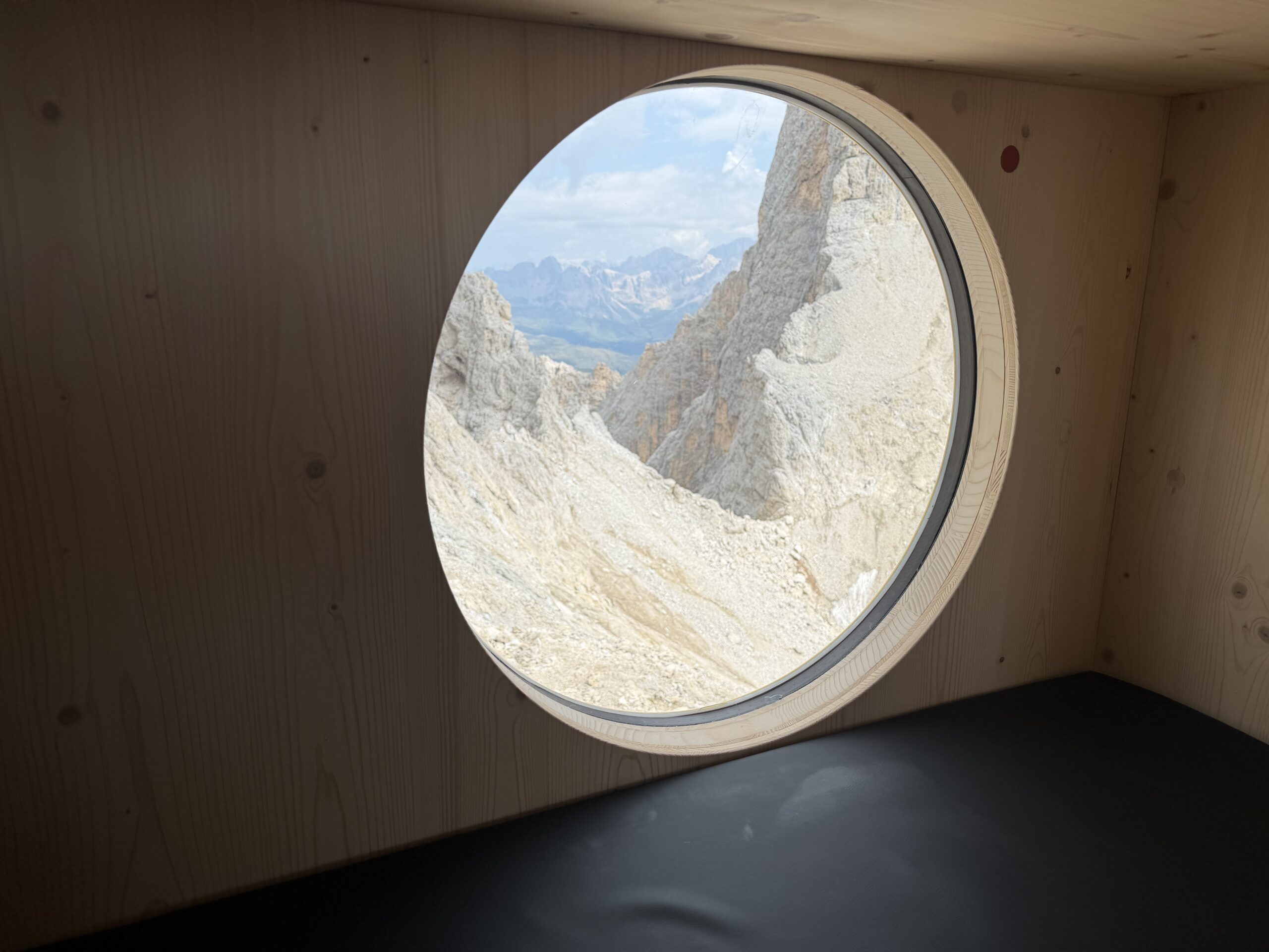
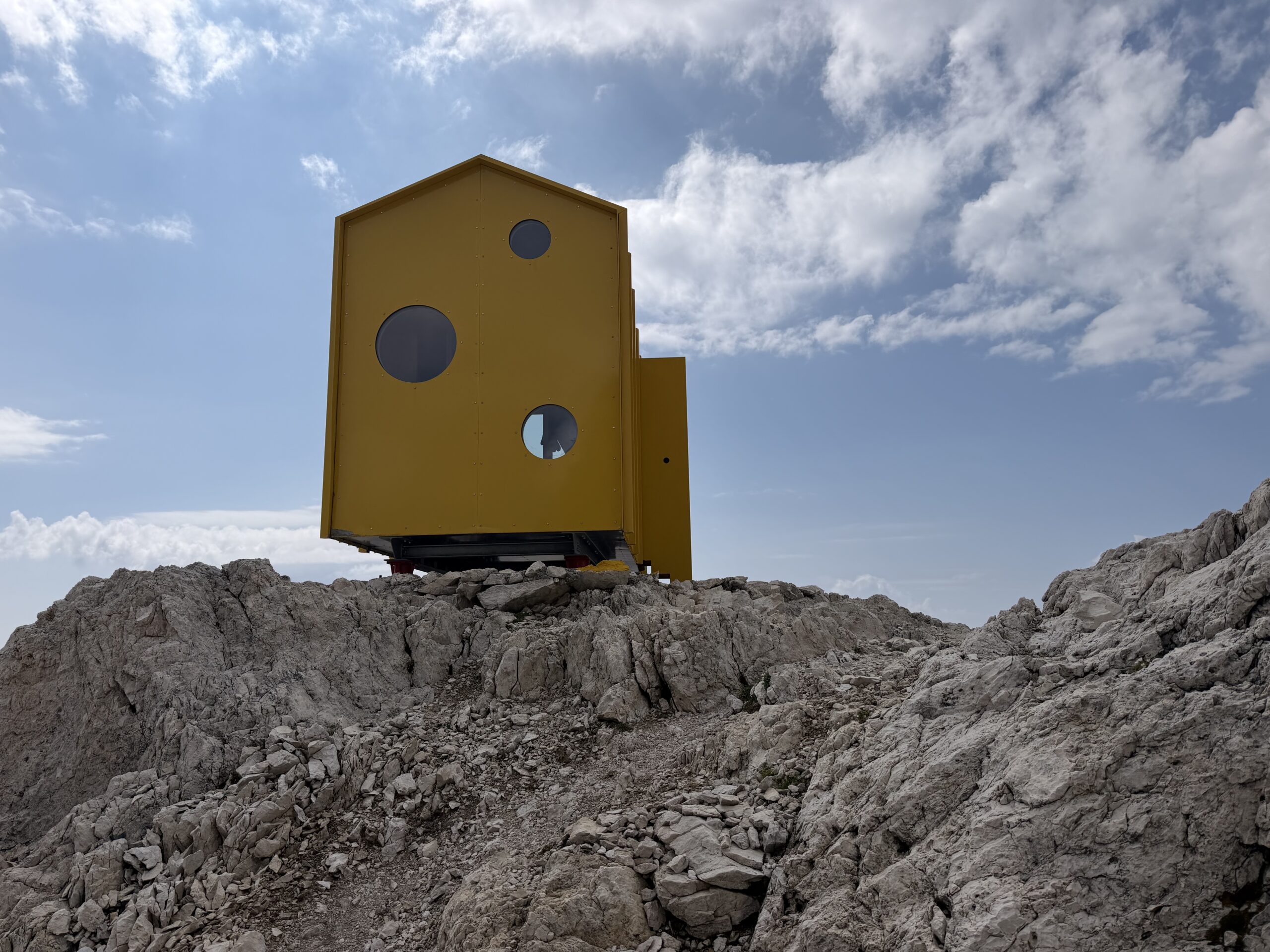
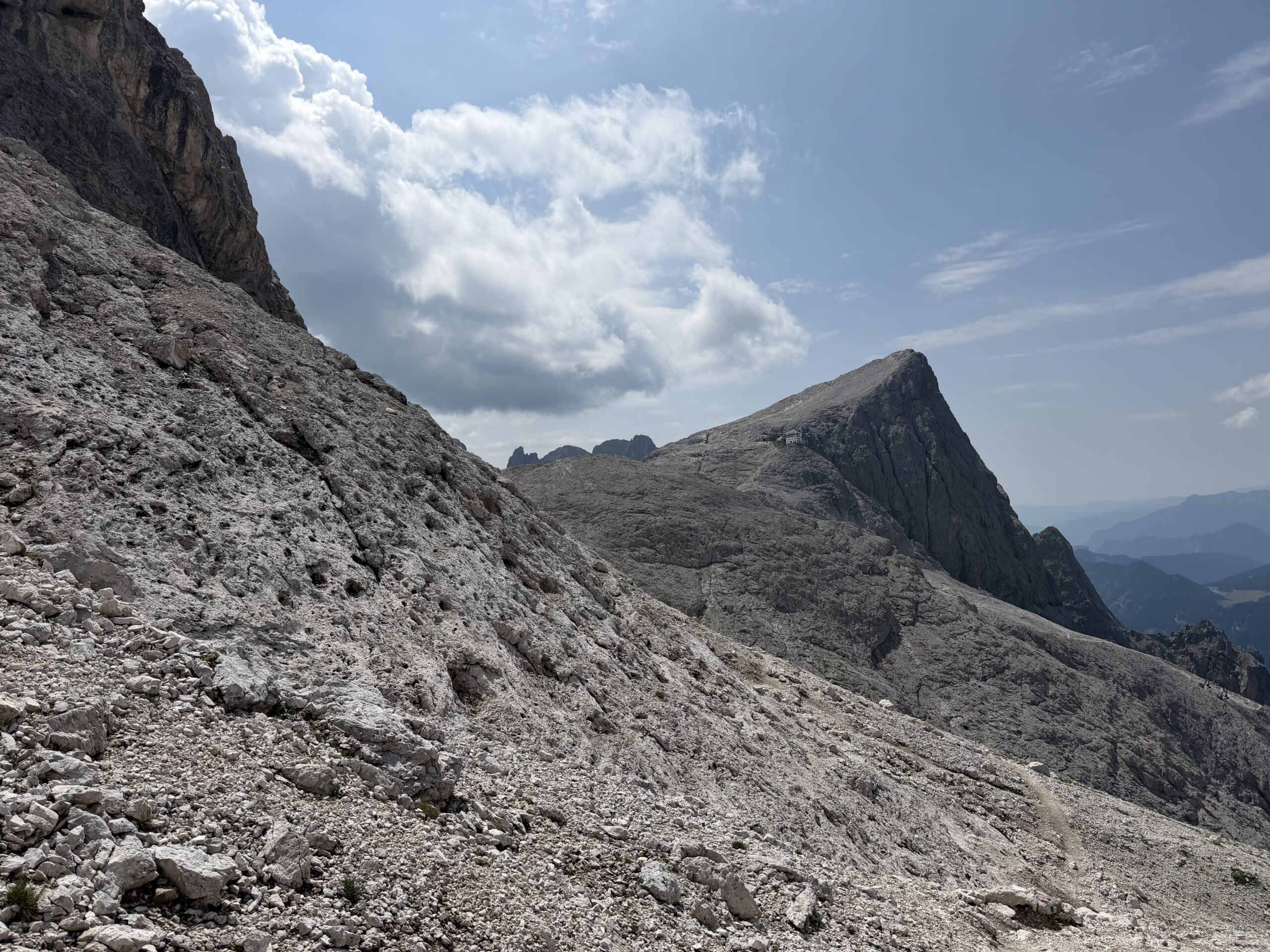
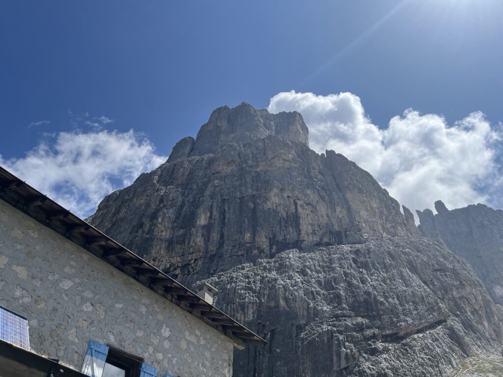
After the final equipped gully, the ferrata ends on a ridge. From here I continued over the ridge and then across a scree slope toward the clearly visible Bivacco Fiamme Gialle. The bivouac, recently rebuilt, looks like a small yellow mountain hut suspended in the Dolomites. Inside there is a table and bunk beds along the walls, with 9 sleeping places and blankets; the large west-facing window and the rear porthole toward Passo del Travignolo make it a remarkable place to pause.
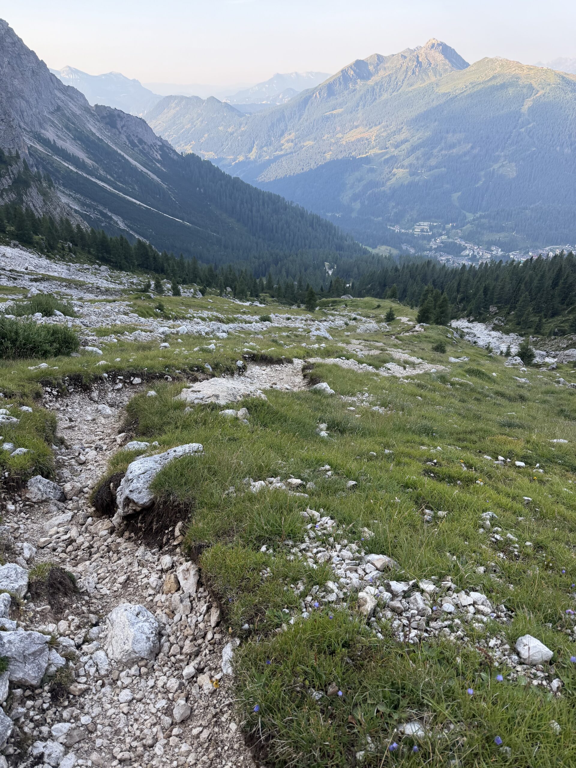
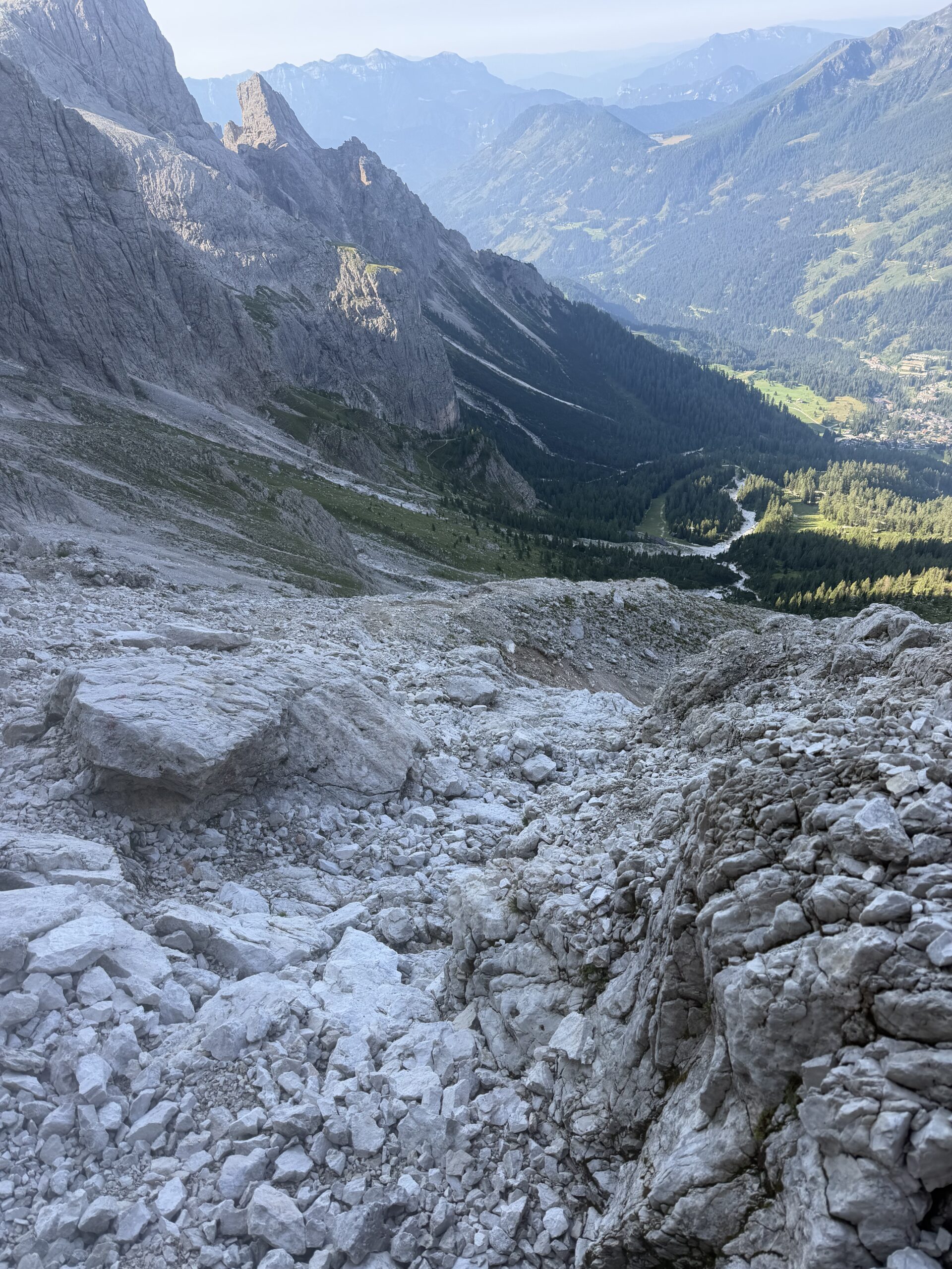
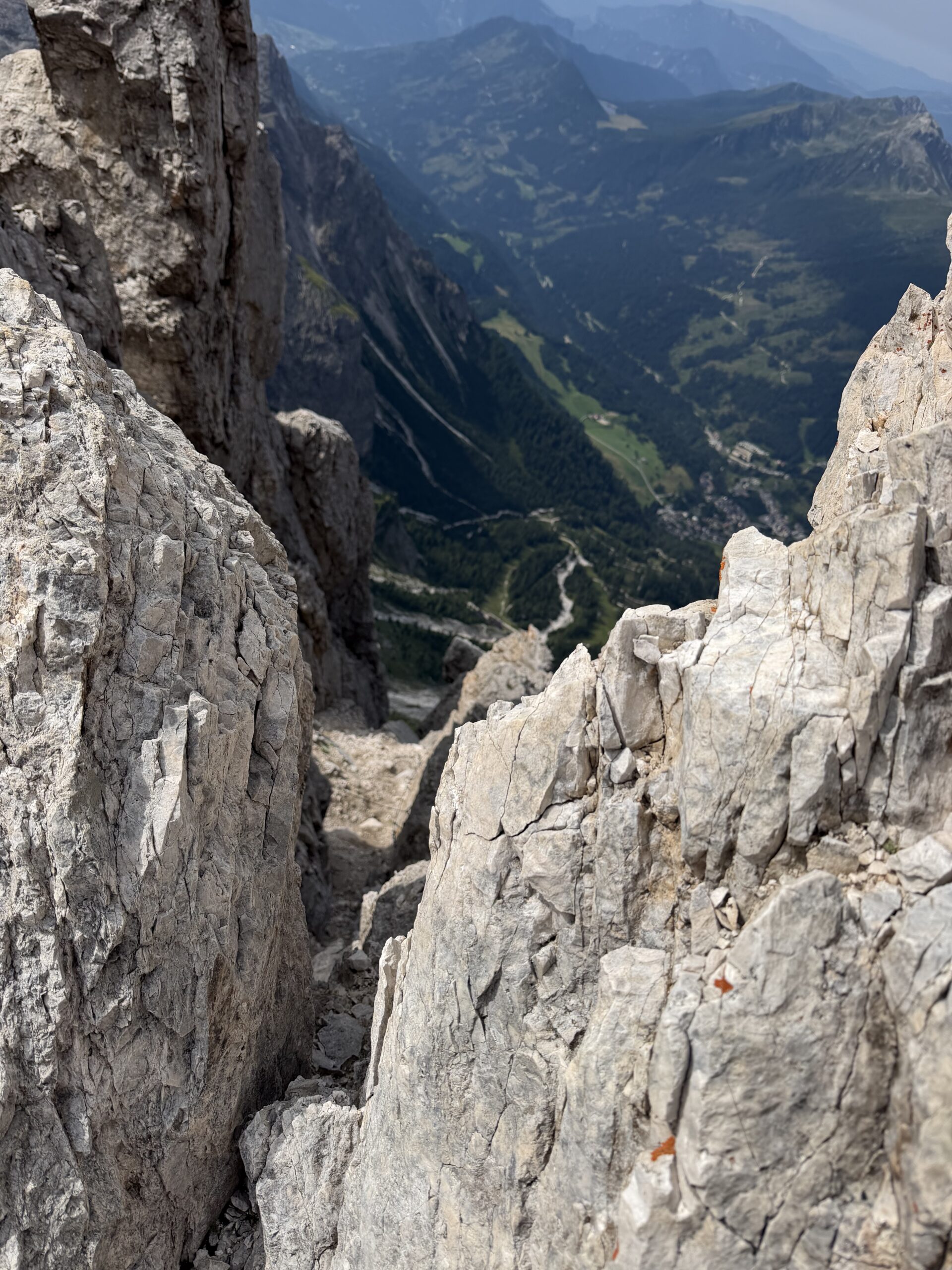
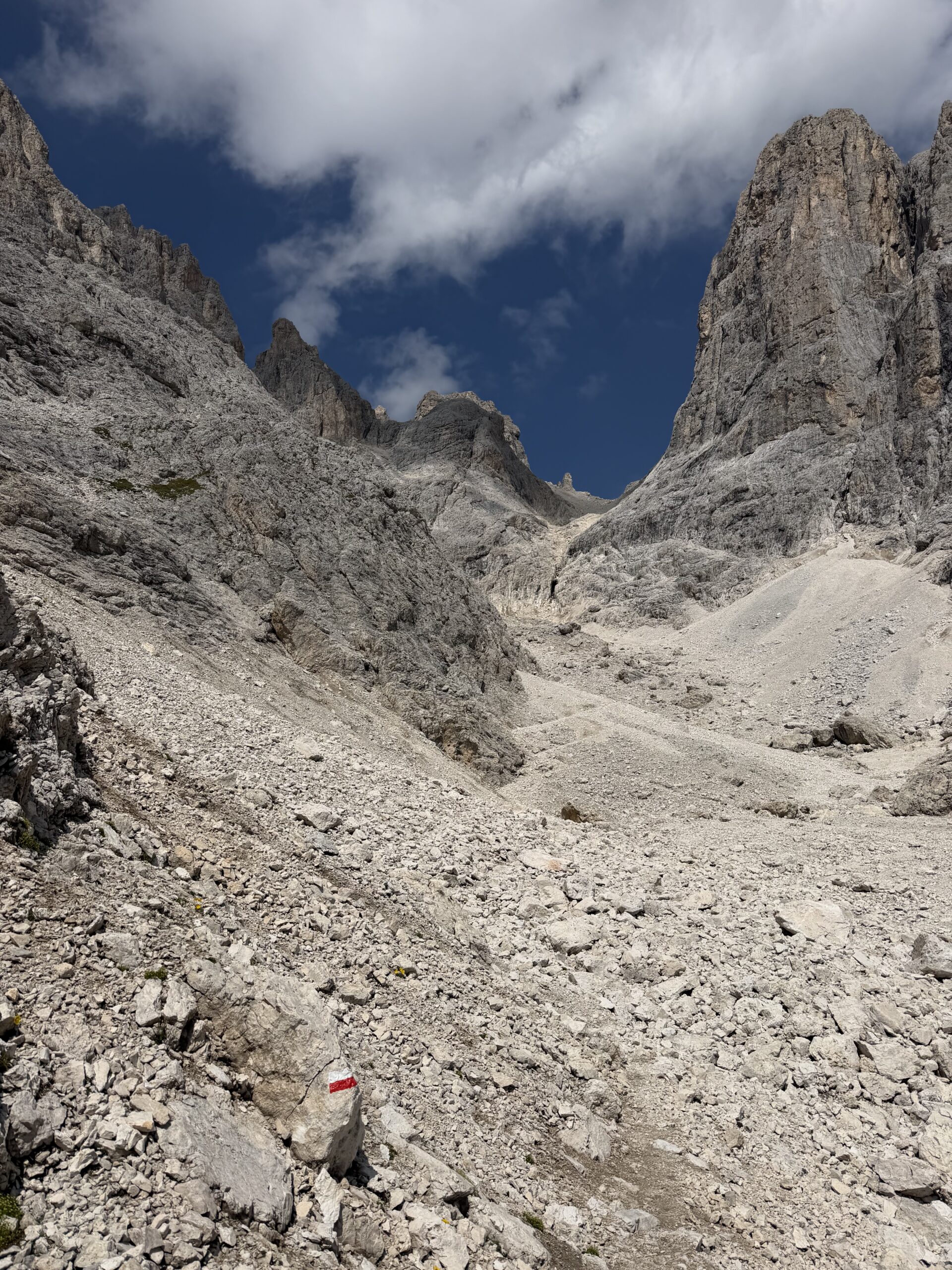
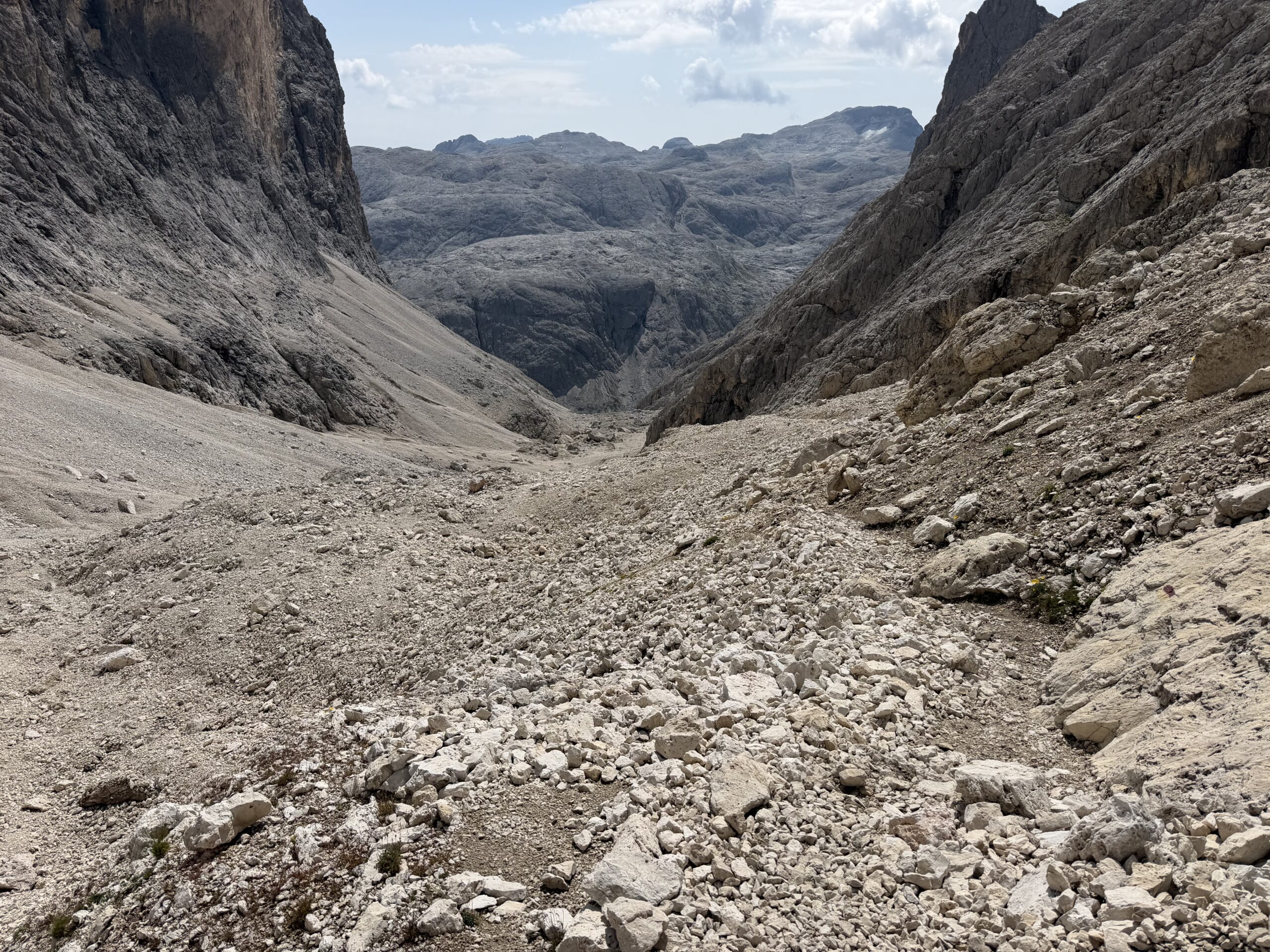
After a quick look inside, I began the descent toward Passo del Travignolo. This part requires real attention: the path is exposed, covered with debris and includes some rocky passages. Before reaching the pass, I descended into Val dei Cantoni on trail 716. The descent is not trivial, with loose stones, scree and terrain that can easily become tiring or unstable.
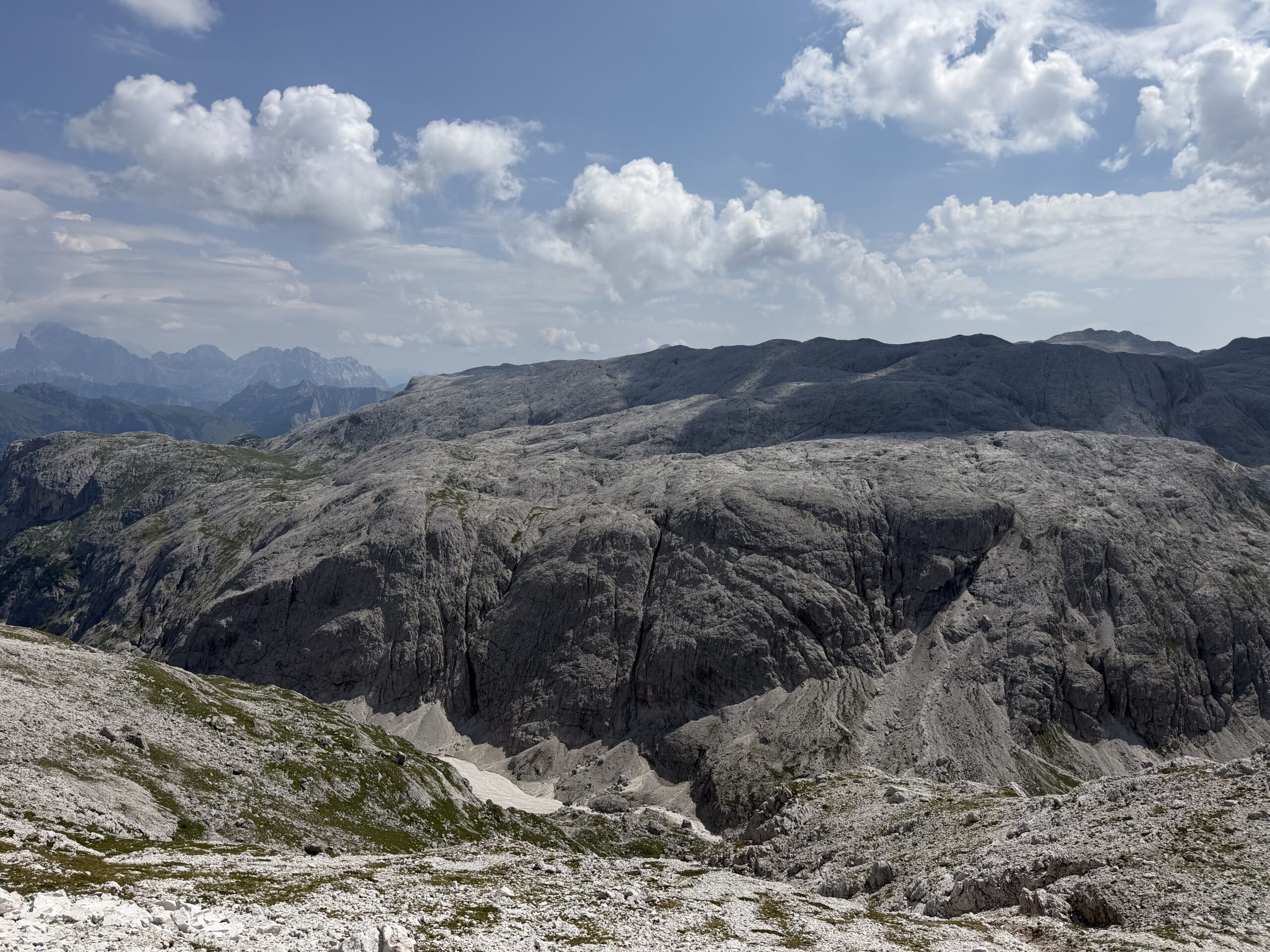
The route reaches the upper part of the rocky step known as the “crepaccio”, where there used to be a snowfield. The markings lead to the right, where cables help with the descent into the lower valley. Continuing through Val dei Cantoni, more cables help over a rocky step before the route reaches the lower slopes of Croda della Pala and the valley leading up to Passo Bettega.
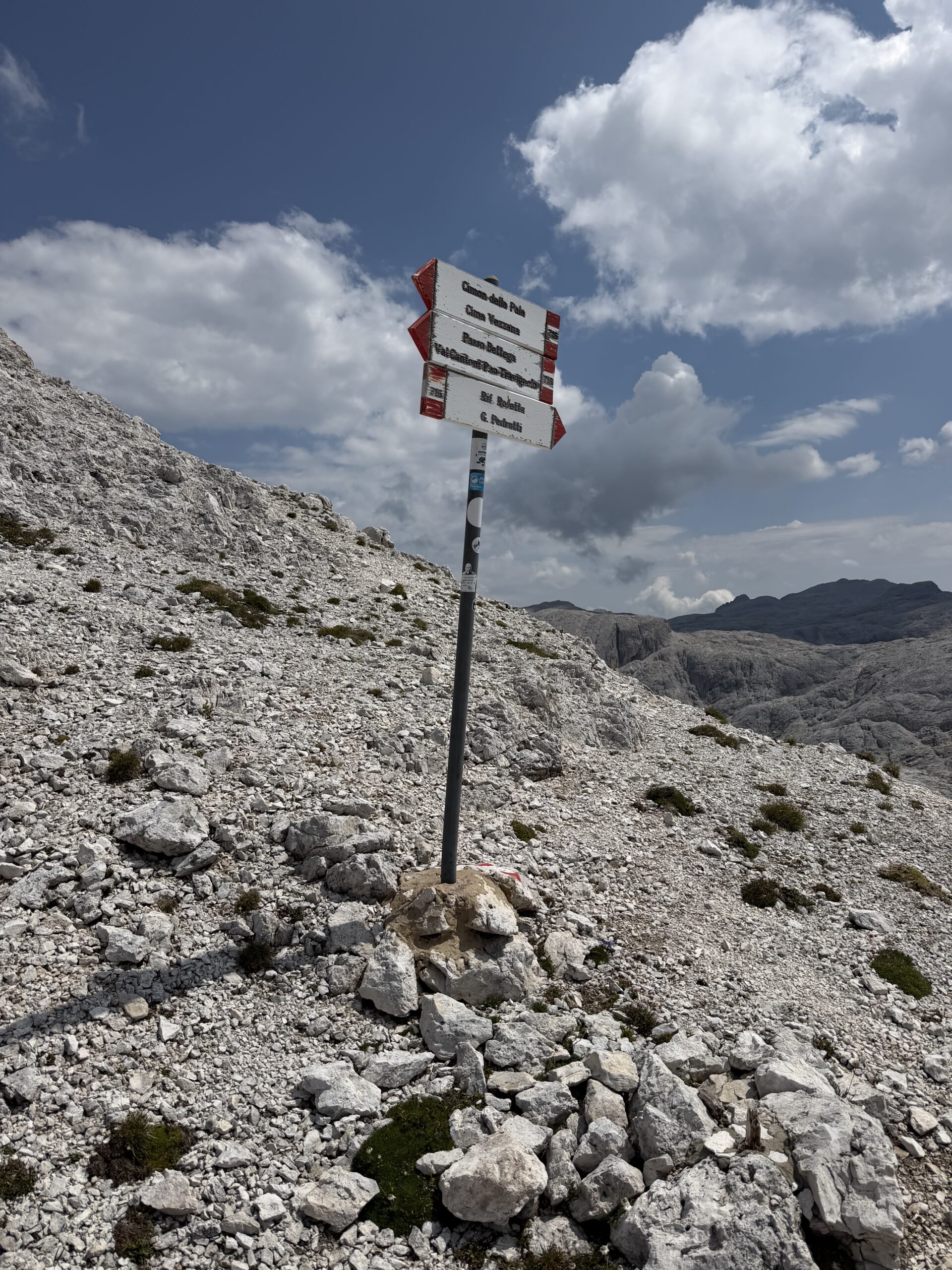
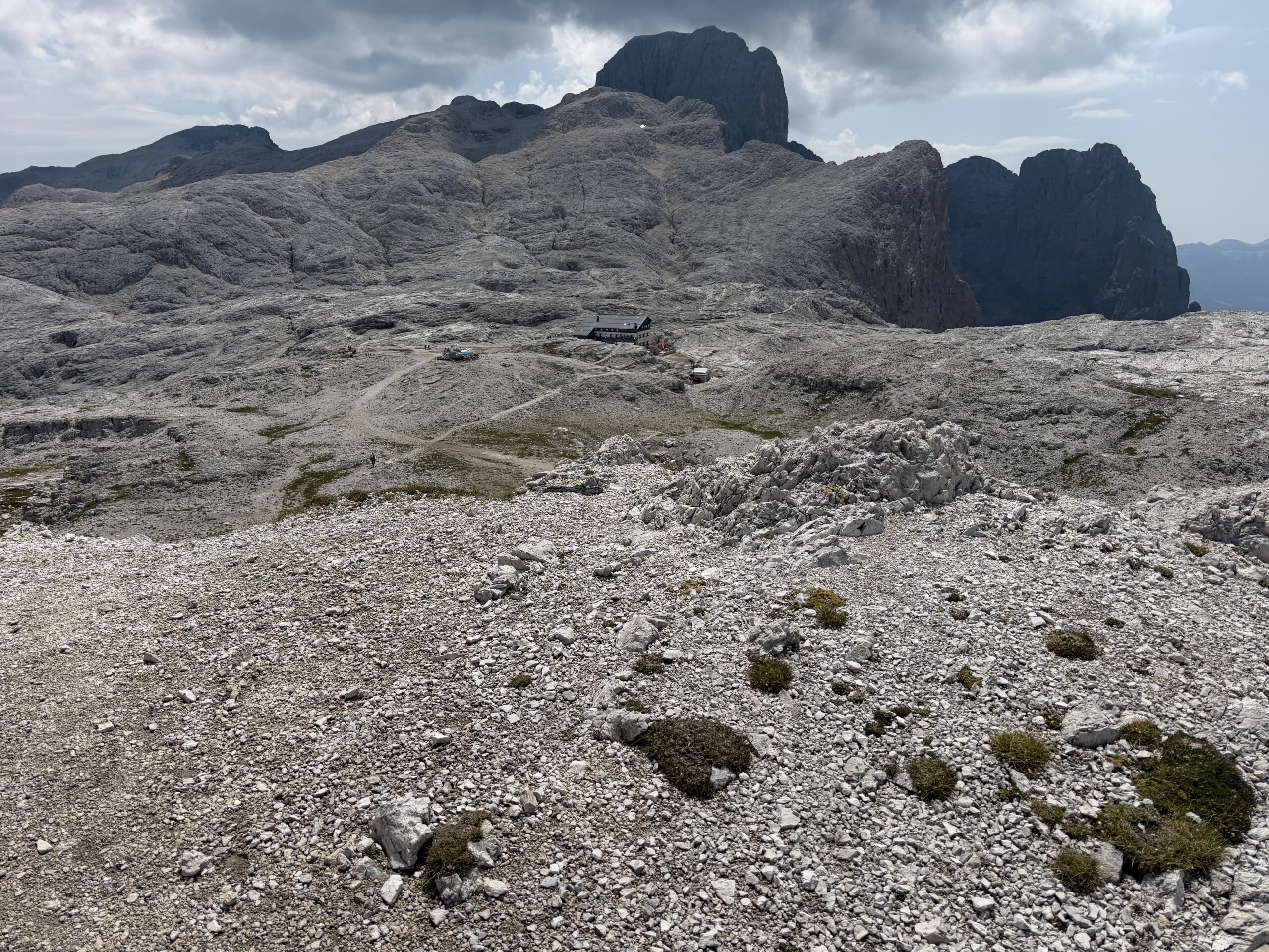
From Passo Bettega, my planned descent would have gone directly back toward Col Verde, but the path was closed and marked as unusable. To avoid problems, I continued toward Rifugio Rosetta, making the loop longer than expected. After an easier first section, the trail climbs again to regain the Pale plateau; once on top, the hut comes into view and is reached in a few minutes.
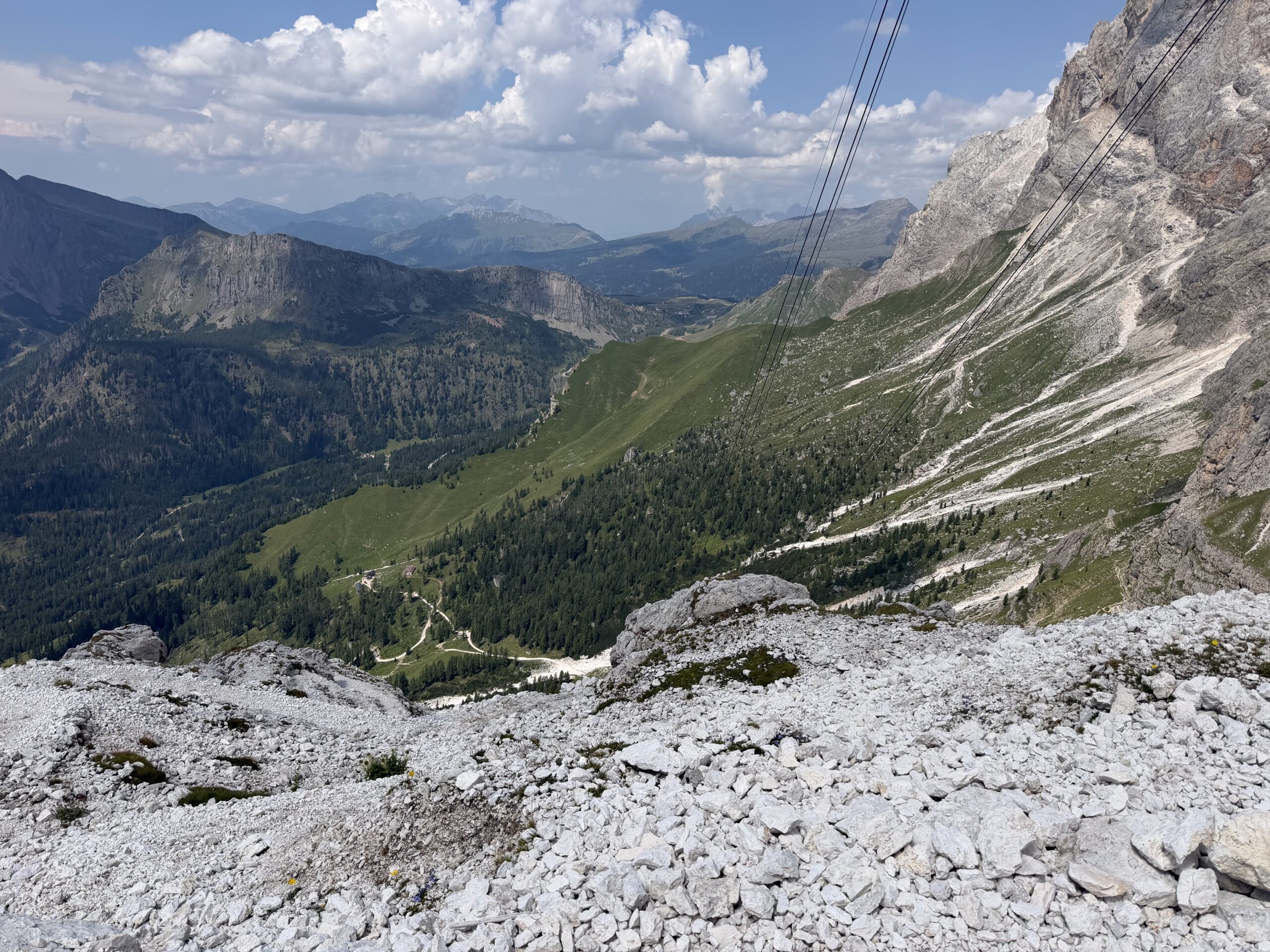
From Rifugio Rosetta, I followed the signs for Col Verde. The trail descends below the Rosetta cable car pylons with many switchbacks. The first part is steep, narrow and exposed, then a cable-protected section helps to reach grassy terraces. A long traverse below Cima Corona and the Dente del Cimone eventually brings the route back toward the Col Verde area.
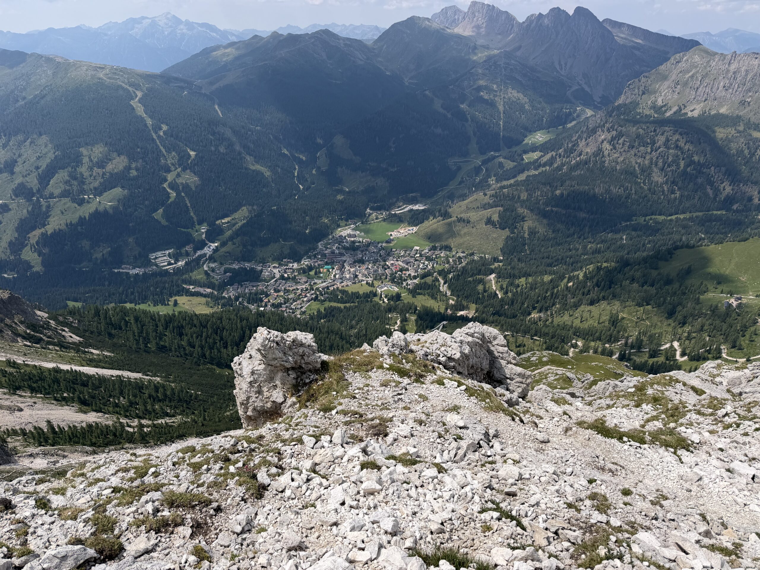
The final section descends with many zig-zags to the Col Verde station. From there I followed the morning route back to the parking area. This is a magnificent but serious outing: the Via Ferrata Bolver Lugli is a full high-mountain Dolomite experience, with a spectacular climb, a wild descent and unforgettable views from the Bivacco Fiamme Gialle at 3005 metres.
Hiked by Federico on 2nd agosto 2026